Pioneer Mountain (Idaho) facts for kids
Quick facts for kids Pioneer Mountain |
|
|---|---|
| Highest point | |
| Elevation | 10,525 ft (3,208 m) |
| Prominence | 505 ft (154 m) |
| Geography | |
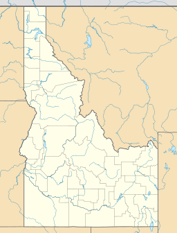
| Location | Custer and Blaine counties, Idaho, U.S. |
| Parent range | Pioneer Mountains |
| Topo map | USGS Star Hope Mine |
Pioneer Mountain is a cool mountain peak in Idaho, USA. It stands tall at about 10,525 feet (3,208 m) high! This mountain is part of the Pioneer Mountains.
You can find Pioneer Mountain right on the edge of two counties: Blaine County and Custer County. It's also located between two big protected areas, the Sawtooth National Forest and the Salmon-Challis National Forest. These forests are like huge parks with lots of trees and wildlife.
About Pioneer Mountain
Pioneer Mountain is a pretty isolated peak. This means it's about 1.47 miles (2.37 km) away from other mountains that are just as tall or taller. It stands out in its area!
Water Flow from the Mountain
Water from Pioneer Mountain flows in different directions. On the south and west sides of the mountain, rain and melting snow flow into small streams. These streams are called "tributaries." They eventually join Muldoon Creek. Muldoon Creek then flows into the Little Wood River.
On the north and east sides of Pioneer Mountain, water also flows into small streams. These streams join Star Hope Creek. Star Hope Creek then flows into the Big Lost River. So, Pioneer Mountain helps feed two different river systems in Idaho!
 | Shirley Ann Jackson |
 | Garett Morgan |
 | J. Ernest Wilkins Jr. |
 | Elijah McCoy |


