Pomeroon River facts for kids
Quick facts for kids Pomeroon River |
|
|---|---|
 |
|

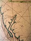
Old Map of Pomeroon River (1688)
|
|
|
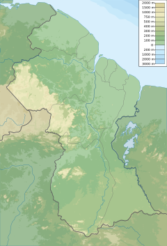
Location of mouth
|
|
| Country | Guyana |
| Physical characteristics | |
| River mouth | Atlantic Ocean Sea level 7°37′N 58°45′W / 7.617°N 58.750°W |
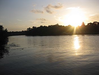
The Pomeroon River is a cool river found in Guyana, a country in South America. It flows between two other big rivers, the Orinoco and the Essequibo. For a very long time, the Lokono people have lived near this river. Did you know the Pomeroon River is one of the deepest rivers in Guyana?
The Pomeroon River is located in Guyana's flat coastal area. This region is full of mangrove swamp plants. A part of the river called Siriki Creek acts like an estuary, where fresh river water mixes with salty ocean water. The river's mouth, where it meets the Atlantic Ocean, is a bit unusual. A sandy strip of land pushes the river to flow northwest through something called the Cozier Canal before reaching the ocean.
| Top - 0-9 A B C D E F G H I J K L M N O P Q R S T U V W X Y Z |
A Look at Pomeroon River History
In 1829, an old book called the London Encyclopaedia mentioned the Pomeroon River. It said the river was the western border between the Demerara and Essequibo Colony and Spanish Guiana. This shows how important the river was for marking boundaries a long time ago.
What the Pomeroon River is Used For
The Pomeroon area is famous for its coconuts! Farmers grow many coconuts here. These coconuts are used for their refreshing water and for copra. Copra is the dried meat of the coconut, which can be used to make coconut oil.
A smaller river, the Tapakuma, flows into the Pomeroon River. This smaller river was turned into a special water system. This system really helped farmers grow more rice in the area.
Early Settlements Along the River
Scientists have found old shell mounds near the Pomeroon River. These mounds are linked to very early human burials. They date back to a time before pottery was made, known as the Alaka phase. This tells us people lived here a very long time ago!
European Colonies and Conflicts
In 1581, people from the Dutch country started a colony right on the riverbanks. But in 1596, the Arawak people, working with the Spanish, destroyed this settlement.
Later, in 1658, the Dutch encouraged more people to move to the Essequibo area. A group of Jewish settlers then came to the Dutch lands on the Pomeroon. Sadly, their farms were destroyed in 1665 when the British from Barbados attacked. Most of these settlers then moved to Suriname.
Missions and Modern Towns
In 1840, an Anglican mission was started by W. H. Brett. He wrote about his travels and mentioned that the eastern side of the Pomeroon's mouth was called Cape Nassau. He also noted that the river started in the Imataka Mountains. The biggest river flowing into the Pomeroon was the Arapaiaco River, about 43 miles from the sea. Sometimes, the Pomeroon River was also called Bouruma.
Brett saw different groups of Amerindian people living along the river, like the Warao and Arawak tribes. He also saw former plantation slaves living there.
Today, important towns and settlements on the Pomeroon River include Charity. Another is Kabakaburi, which is an Amerindian mission settlement. W. H. Brett founded Kabakaburi, and it is located about 16 miles upriver from Charity.
See also
 In Spanish: Río Pomeroon para niños
- List of rivers of Guyana
- List of rivers of the Americas by coastline
- Agriculture in Guyana
- History of the Jews in Guyana
 | Audre Lorde |
 | John Berry Meachum |
 | Ferdinand Lee Barnett |


