River Loughor facts for kids
The River Loughor (Welsh: Afon Llwchwr) is a river in Wales. It forms the natural boundary between Carmarthenshire and Swansea for much of its journey. The river starts from an underground lake deep within the Black Mountain. It then appears above ground at a place called Llygad Llwchwr, which means "eye of the Loughor" in Welsh.
As it flows, the River Loughor passes by towns like Ammanford and Hendy in Carmarthenshire. It also goes past Pontarddulais in Swansea. When the river reaches the town of Loughor, it becomes tidal and flows into the sea. This area is known as its estuary. Here, it separates the south coast of Carmarthenshire from the north coast of the Gower Peninsula. One of its smaller rivers, the River Amman, joins the Loughor near Pantyffynnon. The whole area that collects water for the river is about 262 square kilometers.
Long ago, in the 1700s, the River Loughor was famous for its salmon and sea trout. People would catch fish and carry them on ponies to sell at Swansea Market. However, in the 1800s, there was a lot of industry in the area. This caused pollution, and the number of fish in the river went down.
Contents
The Loughor Estuary
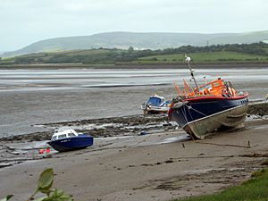
The Loughor Estuary is the wide part of the river near the sea. It's also known as the Burry Inlet or Burry Estuary. This name comes from the small Burry River, which flows into it from the Gower side. The estuary begins below the road and rail bridges at Loughor. Here, the river turns sharply towards Carmarthen Bay. Another river, the Afon Lliw, also joins the estuary near the Loughor bridges.
When the tide is low, most of this area becomes dry, showing large sandy parts. These sandy areas are home to many cockles, which are small shellfish.
Cockle Fishing and Wildlife
On the south side of the estuary, people gather and process cockles. This is a very important part of the economy for villages like Crofty, Llanmorlais, and Penclawdd. Anyone can collect a small bucket of cockles for themselves. However, catching cockles to sell is only allowed for a few people who have special licenses. The number of cockles changes each year.
The estuary is also a very important place for many waders and other wild birds. These birds come to feed on the cockles and other creatures in the mudflats. One type of bird, the oystercatcher (Haematopus ostralegus), especially loves to eat cockles.
Changes to the Estuary
The estuary flows through an area that once had important coal mines. Llanelli, on the north side, was known for making tinplate. Penclawdd, on the south side, melted copper from ore. Both towns needed easy access to the Bristol Channel through Carmarthen Bay.
Over time, the main river channel in the estuary moved around. In the late 1800s, a wall was built to try and keep the channel on the north side. However, this actually made the currents weaker. This caused sand and mud to build up, making it harder for ships to use the ports at Llanelli and Penclawdd. Parts of this wall have since broken down.
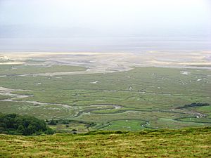
Later, in the 1930s, a strong type of grass called cordgrass (Spartina anglica) was planted. This was done to create more land for grazing animals on the Gower side. This grass has spread widely along the south side of the estuary. It has formed a salt marsh, which is a grassy area flooded by the tide. This salt marsh is now used for grazing sheep, ponies, and cattle.
Whiteford Point and Nature Reserve
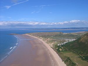
The estuary is partly closed off by Whiteford Point. This point stretches from Llanmadoc in Gower towards Burry Port and Cefn Sidan in Carmarthenshire. Whiteford Point is now a National Nature Reserve. It is looked after by the National Trust and Natural Resources Wales. It has sand dunes and is home to several rare plant and animal species.
Just off the end of Whiteford Point, there is an old cast-iron lighthouse. It is no longer used and needs to be preserved.
Quick facts for kids
Designations
|
|
| Official name: Burry Inlet | |
| Designated: | 14 July 1992 |
|---|---|
| Reference #: | 562 |
 | Frances Mary Albrier |
 | Whitney Young |
 | Muhammad Ali |


