Rotten Calder facts for kids
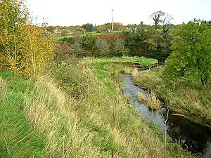
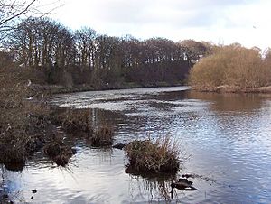
The Rotten Calder is a river in Scotland, located east of East Kilbride in South Lanarkshire. Together with the Rotten Burn, it forms the southern and western borders of Blantyre. This river is an important natural feature, flowing through beautiful landscapes and providing a home for many plants and animals.
Contents
Where the River Begins
The Rotten Calder starts as the Calder Water. Its source is at a place called Ardochrig. As it flows, other small streams join it. These include the Cleughearn, Lea, and Drumloch Burns. These streams drain water from the Eldrig Hills and meet the Calder Water around Langlands Moss.
Sometimes, this river has been called the 'West Calder Water' or 'South Calder Water'. However, the name 'South Calder Water' is also used for another river near Motherwell. Once the Rotten Burn joins the river southeast of East Kilbride, it officially becomes the Rotten Calder Water. In Scotland, the word 'Water' often means a small river.
Exploring Calderglen Country Park
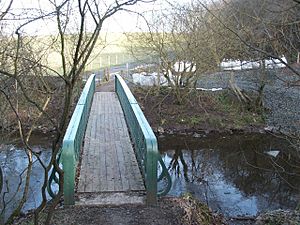
The Rotten Calder flows through a very beautiful and scenic area called Calderglen. This part of the gorge is within the Calderglen Country Park, which is managed by the South Lanarkshire Council.
Nature and Wildlife
The park has over 160 nature trails that follow both sides of the river. There are also thick forests on the slopes. You can find many interesting plants here, like ferns, mosses, and liverworts, growing on the rocky cliffs.
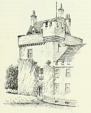
Many animals live in and around the river. If you are lucky, you might spot otters and roe deer in the southern parts of the park. The European green woodpecker also makes its home here. Buzzards can be seen hunting over open areas near the river. Other common birds include the grey heron, grey wagtail, and dipper. The river also flows past the site where Calderwood Castle once stood. The castle was taken down between 1947 and 1951.
Historical Sights and Scenery
The gorge of the Rotten Calder Water has been famous for its beauty for a long time. Writers and poets have described its grand views and cliffs covered in ivy. As you explore the park, you can still see signs of how the landscape was changed in the 1700s and 1800s. There are also old mines, quarries, and places of worship.
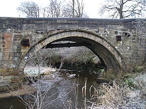
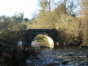
After passing under the General's Bridge at Stoneymeadow, the river flows east past Crossbasket Castle (now a house). It then continues through the former estates of Greenhall and Milheugh. In these areas, the valley becomes wider, forming flat flood plains.
Waterfalls and the Journey to the Clyde
After Milheugh, the river enters another steep gorge. It flows through more beautiful scenery before finally joining the River Clyde near Bothwell Castle.
Famous Waterfalls
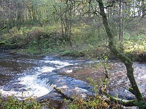
The Rotten Calder is known for its many waterfalls. Some of the most well-known ones include:
- Millwell Linn
- Flatt Linn (also called Crutherland Linn)
- Torrance Linn (also known as Fairy Linn or Walk Fort Linn)
- Black Linn
- Trough Linn
- Calderwood Linn (also called Castle Falls)
- Crossbasket Linn
- Horseshoe Falls
- Old Horseshoe Linn
- Small Falls
- Milheugh Falls
Fishing in the River
The East Kilbride Angling Club has the rights to fish in the Rotten Calder. They sometimes add brown trout to the river, but not every year. If you want to fish, you can get permits from the Calderglen Visitor Centre or the post office in the town centre.
The River's Final Stretch
The Rotten Calder flows along the north side of Blantyre. It also forms the eastern border of the Newton area of Cambuslang. Finally, it joins the River Clyde directly opposite Daldowie.
Features of the Valley
The valley around the Rotten Calder is full of interesting places. You can find old hermitages, small islands, caves, and hidden spots. There are also ancient markings, natural fountains, and "fairy wells." Besides the many waterfalls, there are over 200 nature trails to explore. You might also see old summerhouses, ruined castles, and tall, steep cliffs.
Places Named After the River
The Rotten Calder has inspired the names of several man-made places nearby. These include:
- The Calderwood residential area in East Kilbride.
- Calderglen High School in East Kilbride.
- Calderglen House.
- The former Caldervale village near Blantyre.
- Calderside Academy in Blantyre.
|
See also
 In Spanish: Río Rotten Calder para niños
 | Leon Lynch |
 | Milton P. Webster |
 | Ferdinand Smith |


