Sand Fork (Little Kanawha River) facts for kids
Quick facts for kids Sand Fork |
|
|---|---|
|
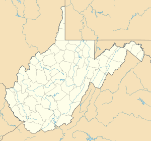
Location of the mouth of the Sand Fork in Sand Fork, West Virginia
|
|
| Country | United States |
| State | West Virginia |
| Counties | Lewis, Gilmer |
| Physical characteristics | |
| Main source | northwest of Roanoke, Lewis County 1,181 ft (360 m) 38°58′22″N 80°31′39″W / 38.9728725°N 80.5275919°W |
| River mouth | Little Kanawha River Sand Fork, Gilmer County 732 ft (223 m) 38°54′55″N 80°45′11″W / 38.9153706°N 80.7531556°W |
| Length | 18.7 mi (30.1 km) |
| Basin features | |
| Basin size | 80 sq mi (210 km2) |
The Sand Fork is a small river, also called a tributary, located in central West Virginia in the United States. It flows for about 18.7 miles (30.1 km), which is roughly the length of 300 football fields! This river is part of a much larger water system.
Its waters eventually join the Little Kanawha River. From there, they flow into the mighty Ohio River. Finally, they reach the huge Mississippi River. This means the Sand Fork is part of the watershed of the Mississippi River. A watershed is like a giant funnel that collects all the rain and snowmelt in an area. The Sand Fork's watershed covers about 80 square miles (210 km2). This area is mostly rural and sits on a part of the Allegheny Plateau that was not covered by glaciers long ago.
Contents
About the Sand Fork River
The Sand Fork is an important part of the local environment. It helps carry water from the land to larger rivers. This process is vital for the health of the entire river system.
Where Does the Sand Fork River Start and End?
The Sand Fork river begins in Lewis County. Its starting point is about 4 miles (6.4 km) northwest of a town called Roanoke. From there, it flows towards the west and southwest.
The river continues its journey into Gilmer County. It eventually meets the Little Kanawha River. This meeting point is in the town of Sand Fork. The Sand Fork river joins the Little Kanawha River from the north.
The Land Around the River
The area around the Sand Fork river is mostly covered by forests. About 92.8% of the land in its watershed is forested. Most of these trees are deciduous, meaning they lose their leaves in the fall.
A smaller part of the land, about 6%, is used for farming. This includes areas for pasture where animals graze and fields for growing crops. This information comes from the West Virginia Department of Environmental Protection.
How the River Got Its Name
The name "Sand Fork" is quite simple to understand. The river was named because it has many sand bars. These are piles of sand that build up in the riverbed. They are often seen along the banks or in the middle of the water.
 | Selma Burke |
 | Pauline Powell Burns |
 | Frederick J. Brown |
 | Robert Blackburn |


