Sarsfield Lake facts for kids
Quick facts for kids Sarsfield Lake |
|
|---|---|
| Location | Lee Township, Timiskaming District, Ontario |
| Coordinates | 48°12′16″N 80°21′33″W / 48.20444°N 80.35917°W |
| Part of | James Bay drainage basin |
| Primary inflows | Sarsfield Creek |
| Primary outflows | Sarsfield Creek |
| Basin countries | Canada |
| Max. length | 1.06 km (0.66 mi) |
| Max. width | 0.65 km (0.40 mi) |
| Surface elevation | 336 metres (1,102 ft) |
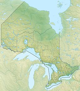
Sarsfield Lake is a small lake located in northeastern Ontario, Canada. You can find it in Lee Township, which is part of the Timiskaming District. This lake is connected to a very large water system called the James Bay drainage basin. The nearest community to Sarsfield Lake is Sesekinika, which is about 9 kilometers (5.6 miles) to the east.
About Sarsfield Lake
Sarsfield Lake is not very big. It stretches about 1,060 meters (3,478 feet) long and is about 650 meters (2,133 feet) wide. It's a peaceful spot in the Canadian wilderness.
Water Flow and Connections
Water flows into and out of Sarsfield Lake through a stream called Sarsfield Creek.
- The main water source, or inflow, for the lake comes from the south. This is Sarsfield Creek, which brings water from Gould Lake.
- The main outflow from Sarsfield Lake is also Sarsfield Creek. It leaves the lake from the north side and continues its journey.
Journey to James Bay
Sarsfield Creek doesn't just stop after leaving the lake. It flows through a series of other lakes and rivers, eventually reaching a huge body of water called James Bay.
- After Sarsfield Lake, the creek flows into Meyers Lake.
- From there, it joins Woollings Creek.
- Next, the water enters the Whiteclay River.
- The Whiteclay River then flows into the Black River.
- The Black River joins the Abitibi River.
- Finally, the Abitibi River flows into the Moose River, which then empties into James Bay.
This long journey shows how all these lakes and rivers are connected, forming a large drainage basin that carries water all the way to the sea.


