Snow Valley Peak facts for kids
Quick facts for kids Snow Valley Peak |
|
|---|---|
 |
|
| Highest point | |
| Elevation | 9,218 ft (2,810 m) NAVD 88 |
| Prominence | 1,254 ft (382 m) |
| Listing | Nevada County High Points 16th |
| Geography | |
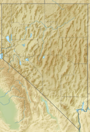
| Location | Carson City, Nevada, U.S. |
| Parent range | Carson Range |
| Topo map | USGS Marlette Lake |
| Climbing | |
| Easiest route | Tahoe Rim Trail |
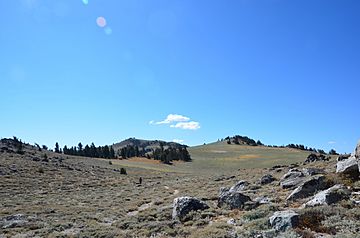
Snow Valley Peak is a cool mountain found in the Carson Range, which is part of the bigger Sierra Nevada mountain range. This mountain is located right within the city limits of Carson City, Nevada. It's super tall, reaching 9,214 feet (about 2,808 meters) high. This makes it the highest point in Carson City!
From the very top of Snow Valley Peak, you can see amazing views. You can clearly spot places like Mound House, Carson City, and the beautiful Lake Tahoe. You might even see Reno and the Carson Valley.
You can reach the peak by hiking along the Tahoe Rim Trail. This trail is a famous path that goes around Lake Tahoe. You can start your hike from the Spooner Lake Trailhead.
Snow Valley Peak is part of the Humboldt-Toiyabe National Forest. This is a large area of protected land. Right next to it, on the west side, is Lake Tahoe–Nevada State Park.
About Snow Valley Peak
Snow Valley Peak is an important part of the local environment. It's not just a tall mountain; it also helps supply water to the area.
Water Sources
Many important streams begin their journey on Snow Valley Peak. These streams are like natural water pipes that carry water down the mountain.
- North Canyon Creek starts on the western side of the mountain.
- Clear Creek begins on the southern side.
- Ash Canyon Creek flows from the eastern side of the peak.
These creeks are important for the plants, animals, and people living in the areas below the mountain. They help keep the local ecosystem healthy.
 | Bayard Rustin |
 | Jeannette Carter |
 | Jeremiah A. Brown |


