Thornwood, Glasgow facts for kids
Quick facts for kids Thornwood
|
|
|---|---|
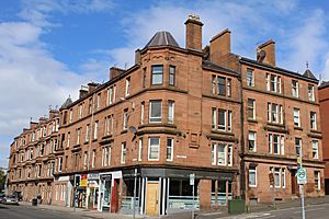
 Corner of Dumbarton Road and Thornwood Avenue |
|
| OS grid reference | NS550667 |
| Council area | |
| Lieutenancy area |
|
| Country | Scotland |
| Sovereign state | United Kingdom |
| Post town | GLASGOW |
| Postcode district | G11 7 |
| Dialling code | 0141 |
| Ambulance | Scottish |
| EU Parliament | Scotland |
| UK Parliament |
|
| Scottish Parliament |
|
Thornwood is a lively neighborhood in Glasgow, Scotland. It is mostly a place where people live, located north of the River Clyde. Thornwood is part of Glasgow's West End. It sits very close to the river. To its east and south is Partick, and to its north and west is Broomhill. Other nearby areas include Whiteinch, Glasgow Harbour, and Hyndland.
Contents
Exploring Thornwood's Location
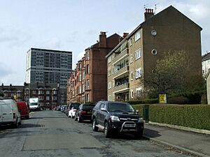
Thornwood's exact borders are not always clear. However, you can think of it as the area between Crow Road, Thornwood Drive, and Dumbarton Road. It is a small area, but many people live there. The neighborhood is known for its four-story buildings called tenements. These are large apartment buildings where many families live.
Thornwood used to be part of the town of Partick. But in 1912, Partick became part of the growing city of Glasgow. Most of the bigger shops and services are found in nearby Partick or Broomhill. These include a shopping area and Gartnavel General Hospital. The University of Glasgow and Byres Road, a popular place for hanging out, are also about one mile away. Even so, Thornwood has its own selection of small shops and local bars.
Getting Around Thornwood
The area is well-connected by public transport. Partick railway station is nearby. This station is also a stop on the Glasgow Subway system. The Clydeside Expressway (A814) road runs south of Thornwood. This road connects to the Clyde Tunnel. The tunnel helps cars and people get to the southwest of the city. This includes areas like Linthouse and the Queen Elizabeth University Hospital.
Schools in Thornwood
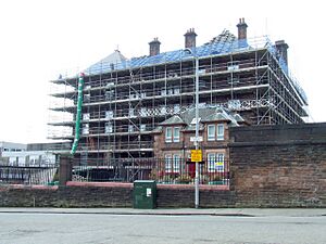
Thornwood Primary School is the main primary school for children in the area. The school building also has Thornwood Nursery Class for younger children. It also houses Rosepark Learning Centre, which changed its name in 2010 to GDSS (General Dyslexic Social Services). This is a special needs school. All these services are run by Glasgow City Council's Education department.
Thornwood Primary is one of four primary schools that work with Hyndland Secondary School. The other primary schools are Broomhill Primary, Whiteinch Primary, and Hyndland Primary. Together, they form the Hyndland New Learning Community. For Catholic families, Notre Dame Primary is in Partick and St Paul's Primary is in Whiteinch. The Catholic secondary school, St Thomas Aquinas, is located in Broomhill.
Parks and Green Spaces
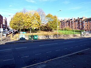
Thornwood Park is a lovely green space in the neighborhood. It has been updated and is located across from the primary school. The park features an AstroTurf pitch, which is a special field for sports. There is also a separate fenced playground for children. You can also find a picnic area with benches and tables. This park was created on land where old railway lines used to be.
To the north of Thornwood, you can find Cross Park. This park also has play areas for children. It has grassy spots and wooded areas to explore. The much larger Victoria Park is also close by, to the west.
 | William L. Dawson |
 | W. E. B. Du Bois |
 | Harry Belafonte |


