Tomwool Lake facts for kids
Quick facts for kids Tomwool Lake |
|
|---|---|
| Location | Lee Township, Timiskaming District, Ontario |
| Coordinates | 48°15′19″N 80°22′00″W / 48.25528°N 80.36667°W |
| Part of | James Bay drainage basin |
| Primary inflows | Tomwool Creek |
| Primary outflows | Tomwool Creek |
| Basin countries | Canada |
| Max. length | 1,170 m (3,840 ft) |
| Max. width | 270 m (890 ft) |
| Surface elevation | 342 metres (1,122 ft) |
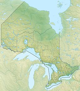
Tomwool Lake is a small lake located in Ontario, Canada. It is found in Lee Township, which is part of the Timiskaming District in northeastern Ontario. This lake is an important part of the James Bay drainage basin, meaning its water eventually flows into James Bay.
Contents
Discover Tomwool Lake
Tomwool Lake is a small but interesting body of water. It is about 1,170 metres (3,840 ft) long. That's a bit longer than 10 football fields! The lake is also about 270 metres (890 ft) wide.
Where is Tomwool Lake?
The lake is in a quiet area of Ontario. The closest town is Bourkes. It is about 10.9 kilometres (6.8 mi) northeast of the lake. This area is known for its natural beauty.
Water Flow and Connections
Tomwool Lake is connected to a larger water system. The main stream flowing into the lake is Tomwool Creek. This creek enters the lake from the west side. Tomwool Creek also flows out of the lake from the south.
The Journey to James Bay
The water from Tomwool Lake travels a long way. After leaving the lake, Tomwool Creek continues south. It then joins several other rivers and creeks. These include Sarsfield Creek, Meyers Lake, Woollings Creek, and the Whiteclay River.
Eventually, the water reaches the Black River. From there, it flows into the Abitibi River. The Abitibi River then joins the Moose River. Finally, the Moose River empties into James Bay. This shows how all these waterways are connected.


