Turan Depression facts for kids
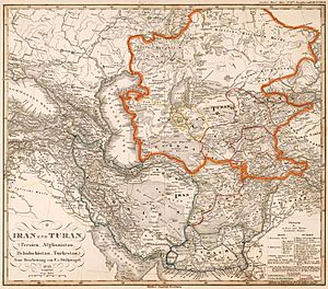
The Turan Depression, also known as the Turan Lowland or Turanian Basin, is a huge, flat area of land in Central Asia. It stretches from southern Turkmenistan through Uzbekistan to Kazakhstan. This region is mostly a desert and is shaped like a giant, shallow bowl.
Geography of the Turan Depression
This large, flat area is found east of the Caspian Sea and southeast of the Aral Sea. While much of it is low, some parts are actually above sea level. It's one of the biggest sandy areas on Earth, covering about 3 million square kilometers. That's a huge space!
Not much rain falls here, usually less than 15 inches (380 mm) each year. This is why it's a desert. A famous desert called the Karakum Desert is located in the southern part of the Turan Lowlands.
The part of the depression near the Aral Sea has no rivers flowing out of it to the ocean. Instead, it has many small, temporary streams. These streams often end in sor salt flats. These salt flats can turn into salt lakes during certain times of the year.
Three of the biggest cities in the Turan Depression are Daşoguz in Turkmenistan, and Nukus and Urganch in Uzbekistan. The lowest point in the Turan Depression is Vpadina Akchanaya in Turkmenistan. It is 267 feet (81 meters) below sea level. The Amu Darya River flows through the lowlands from the southeast to the northwest.
Thousands of years ago, during the Pliocene and Pleistocene periods, the area that is now the Turan Depression was covered by a huge body of water called the Turan Sea. About ten thousand years ago, this large sea split into the two seas we know today: the Caspian Sea and the Aral Sea.
See also
 In Spanish: Depresión del Turán para niños
- Kazakh semi-desert
- Turgay Depression
 | Claudette Colvin |
 | Myrlie Evers-Williams |
 | Alberta Odell Jones |


