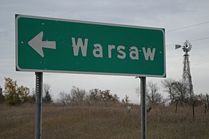
Warsaw, Minnesota facts for kids
Quick facts for kids
Warsaw
|
|
|---|---|
 |
|
| Country | United States |
| State | Minnesota |
| County | Rice County |
| Township | Warsaw Township |
| Area | |
| • Total | 1.91 sq mi (4.93 km2) |
| • Land | 0.86 sq mi (2.24 km2) |
| • Water | 1.04 sq mi (2.70 km2) |
| Elevation | 1,001 ft (305 m) |
| Population
(2020)
|
|
| • Total | 644 |
| • Density | 745.37/sq mi (287.89/km2) |
| Time zone | UTC-6 (Central (CST)) |
| • Summer (DST) | UTC-5 (CDT) |
| ZIP code |
55087
|
| Area code(s) | 507 |
| GNIS feature ID | 653792 |
Warsaw is a small community in Minnesota, United States. It is known as an "unincorporated community" and a "census-designated place" (CDP). This means it's a group of homes and businesses that isn't officially a city or town. However, the government still counts its population separately for official records. Warsaw is located in Rice County, Minnesota.
As of the 2010 census, about 627 people lived in Warsaw. By the 2020 census, the population had grown slightly to 644 people.
Where is Warsaw Located?
Warsaw is found in Warsaw Township. It sits between two other communities: Morristown to its west and Faribault to its east.
The community is right where State Highway 60 meets Rice County Road 13. This road is also known as Farwell Avenue. Warsaw is also located on the western side of Cannon Lake.
Population Facts
The United States government counts how many people live in different areas every ten years. This is called a census.
- In 2010, the population of Warsaw was 627 people.
- By 2020, the population had increased to 644 people.
This information helps us understand how communities like Warsaw are growing or changing over time.
| Historical population | |||
|---|---|---|---|
| Census | Pop. | %± | |
| 2020 | 644 | — | |
| U.S. Decennial Census | |||
See also
 In Spanish: Warsaw (Minnesota) para niños
 | Roy Wilkins |
 | John Lewis |
 | Linda Carol Brown |


