Baraboo Range facts for kids
Quick facts for kids Baraboo Range |
|
|---|---|

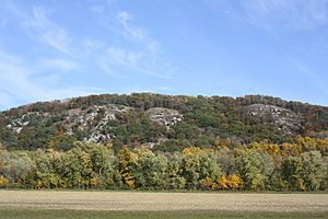
The range with autumn leaves on WIS 33
|
|
| Lua error in Module:Location_map at line 420: attempt to index field 'wikibase' (a nil value). | |
| Location | Columbia and Sauk counties, Wisconsin |
| Nearest city | Baraboo |
| Designated | 1980 |
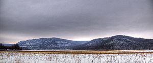
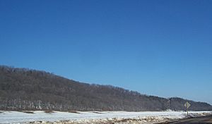
The Baraboo Range is a special set of hills in Columbia and Sauk Counties, Wisconsin. It's shaped like a big U, which geologists call a syncline. These hills are made of very old rocks, about 1.5 billion years old, that have been changed by heat and pressure over time (these are called metamorphic rocks).
The Baraboo Range stretches about 25 miles (40 km) long and is 5 to 10 miles (8 to 16 km) wide. The Wisconsin River flows near the range, making a turn to the east and then west. The eastern part of the range was covered by huge glaciers during the last Ice Age (the Wisconsinian glaciation). But the western part was not, making it the edge of Wisconsin's unique Driftless Area, a region untouched by glaciers.
The city of Baraboo sits right in the middle of the valley formed by these hills. Because of its unique natural features, the Baraboo Range was named a National Natural Landmark in 1980.
Geology: How the Baraboo Range Formed
The Baraboo Range is a cool example of a mountain range that was once buried deep underground. Over millions of years, softer rocks on top wore away, exposing these ancient hills again. Now, they are still being shaped by wind and water.
The main rocks here are super old, about 1.5 billion years old! They are mostly gray to pink Baraboo Quartzite and red rhyolite. Quartzite is a very hard rock that used to be sandstone but got changed by intense heat and pressure.
The Baraboo River cuts through the middle of the range. It flows through a narrow spot called Upper Narrows Gorge near Rock Springs. Then it continues to the Wisconsin River through another narrow spot called the Lower Narrows.
These tough quartzite rocks have resisted erosion better than the surrounding land. This has left them standing tall as isolated hills, sometimes called monadnocks. These mountains might have first formed as far back as the late Precambrian time. Later, they were covered by layers of younger, softer rocks (called Paleozoic sedimentary strata). Now, erosion is slowly uncovering them again.
Devil's Lake: A Glacial Story
Devil's Lake, which is a big part of Devil's Lake State Park, has an interesting story. It was formed by glaciers! When the glaciers melted, they left behind piles of rock and dirt called terminal moraines. These moraines blocked the lake's natural outlet. This means the lake doesn't have a river flowing out to the ocean, making it an endorheic lake.
More to Explore
- Steven Dutch, Devil's Lake
- Keith Montgomery, The Baraboo Ranges and Devil's Lake Gorge: A Geologic Tour
 | Shirley Ann Jackson |
 | Garett Morgan |
 | J. Ernest Wilkins Jr. |
 | Elijah McCoy |


