
Candelero Abajo facts for kids
Quick facts for kids
Candelero Abajo
|
|
|---|---|
|
Barrio
|
|

Punta Candelero in Candelero Abajo
|
|

Location of Candelero Abajo within the municipality of Humacao shown in red
|
|

Candelero Abajo
Location in Caribbean
|
|
| Commonwealth | |
| Municipality | |
| Area | |
| • Total | 5.80 sq mi (15.0 km2) |
| • Land | 4.83 sq mi (12.5 km2) |
| • Water | 0.97 sq mi (2.5 km2) |
| Elevation | 95 ft (29 m) |
| Population
(2010)
|
|
| • Total | 5,135 |
| • Density | 1,054.4/sq mi (407.1/km2) |
| Source: 2010 Census | |
| Time zone | UTC−4 (AST) |
| ZIP Code |
00791
|
Candelero Abajo is a neighborhood, called a barrio, located in the town of Humacao, Puerto Rico. In 2010, about 5,135 people lived there. It's known for its beautiful coastal areas, like Punta Candelero.
Contents
History of Candelero Abajo
Becoming a U.S. Territory
After the Spanish–American War, Spain gave Puerto Rico to the United States. This happened under an agreement called the Treaty of Paris of 1898. Puerto Rico then became an unincorporated territory of the United States. This means it is part of the U.S. but does not have all the same rights as a state.
Early Population Counts
In 1899, the United States Department of War conducted a census (a count of people) in Puerto Rico. This count showed that the Candelero Abajo neighborhood had 972 residents at that time. Over the years, the population has grown quite a bit.
| Historical population | |||
|---|---|---|---|
| Census | Pop. | %± | |
| 1900 | 972 | — | |
| 1980 | 1,907 | — | |
| 1990 | 2,825 | 48.1% | |
| 2000 | 3,365 | 19.1% | |
| 2010 | 5,135 | 52.6% | |
| U.S. Decennial Census 1899 (shown as 1900) 1910-1930 1930-1950 1980-2000 2010 |
|||
Understanding Flood Zones
Why Humacao is Vulnerable
Candelero Abajo is located in Humacao, Puerto Rico, which is a coastal area. In 2019, new maps showed that Humacao is one of the most vulnerable places in Puerto Rico for flooding. This is because many strong storms, like hurricanes, often enter the island through this region.
Protecting Coastal Neighborhoods
The town of Humacao has been working on plans to reduce the risk of flooding. Several neighborhoods along the coast, including Candelero Abajo, are especially prone to flooding. These areas could be seriously damaged by a strong hurricane. Other neighborhoods facing similar risks include Antón Ruíz, Punta Santiago, Río Abajo, and Buena Vista.
Gallery
-
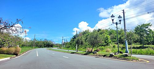
Puerto Rico Highway 906 in Candelero Abajo

See also
 In Spanish: Candelero Abajo para niños
- List of communities in Puerto Rico
