
Canyons of the Escalante facts for kids

The Canyons of the Escalante is a special area in southern Utah, USA. It's named after the Escalante River and all the smaller streams that flow into it. This whole area is like a giant outdoor museum of amazing rock shapes.
You'll find tall canyon walls, narrow slot canyons, and cool rock formations. There are also "waterpockets," which are small pools of rainwater that collect in the rocks. Plus, you can see domes, hoodoos, and natural arches and bridges. This huge area covers over 1,500 square miles (3,885 sq km). It's part of the Grand Staircase–Escalante National Monument and the Glen Canyon National Recreation Area.
Where are the Canyons of the Escalante?

The Escalante River starts high up on the Aquarius Plateau in Utah. It begins where two smaller streams, Birch Creek and North Creek, meet. Another stream, Pine Creek, joins in just below the town of Escalante.
The river flows for about 80 miles (129 km). It eventually empties into the Colorado River. The lower part of the river is now covered by the waters of Lake Powell.
Many other canyons and streams also feed into the main Escalante River. This is why the whole area is so big! Some major streams come from the west, like Harris Wash and Coyote Gulch. Others flow in from the north and east, such as Death Hollow and Calf Creeks. These streams bring water from places like Boulder Mountain and the Circle Cliffs area.
How the Canyons Were Formed
The amazing sandstone rocks you see in the Canyons of the Escalante were formed a very long time ago. About 180 to 225 million years ago, this whole area was a giant desert with huge sand dunes. Over time, these sand dunes turned into solid rock layers.
Later, about 80 million years ago, the western part of North America slowly started to push upwards. This event is called the Laramide orogeny. This uplift created mountains and raised the land, including the Colorado Plateau.
As the land rose, the Escalante River and its streams started to cut deep into the rock. During the recent ice ages, the climate was wetter. This meant more water flowed through the canyons, helping to carve them even deeper.
The different layers of sandstone have unique colors and textures. For example, the dark red cliffs in Coyote Gulch are made of Navajo Sandstone. The lighter, rounded rocks of Dance Hall Rock are from the Entrada Sandstone layer. Even older rocks, like Wingate Sandstone, can be seen at higher elevations near the town of Escalante.
Images for kids
-
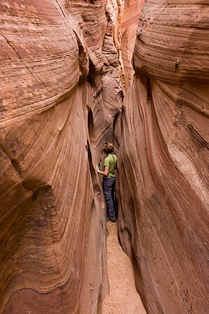
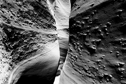
Zebra Canyon is a very narrow slot canyon.
-
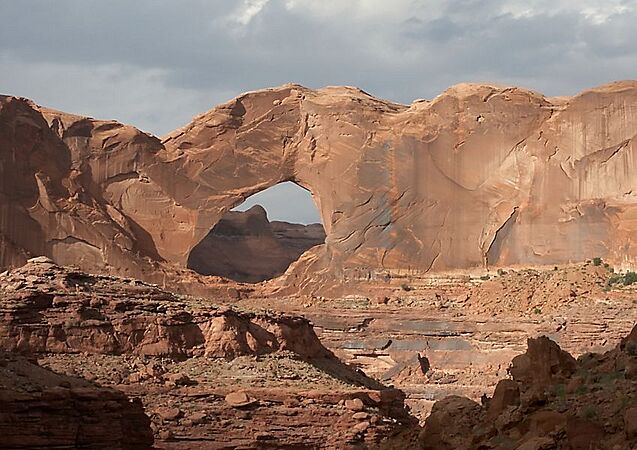
Stevens Arch, a natural rock arch.
-
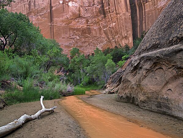
The beautiful canyon walls and stream in Coyote Gulch.
-
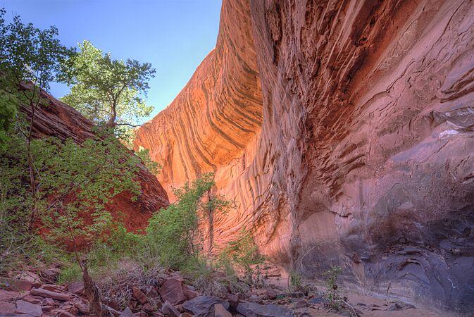
Neon Canyon, known for its colorful walls.
-
Spooky Gulch, another tight slot canyon.
-
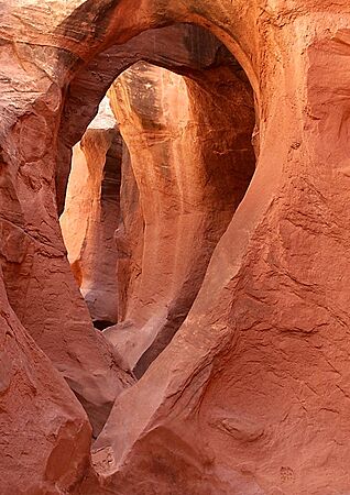
Peek-a-Boo Gulch, a fun and challenging slot canyon.
.jpg)

.jpg)


