Cape Otway facts for kids
Quick facts for kids Cape OtwayVictoria |
|||||||||||||||
|---|---|---|---|---|---|---|---|---|---|---|---|---|---|---|---|

Cape Otway coast
|
|||||||||||||||
| Population | 15 (2016 census) | ||||||||||||||
| Location | |||||||||||||||
| LGA(s) | Colac Otway Shire | ||||||||||||||
| State electorate(s) | Polwarth | ||||||||||||||
| Federal Division(s) | Corangamite | ||||||||||||||
|
|||||||||||||||
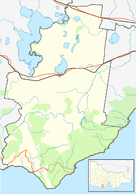
Cape Otway is a special place in southern Victoria, Australia. It's a cape, which is a piece of land sticking out into the sea. You can find it along the famous Great Ocean Road. Much of the area is part of the beautiful Great Otway National Park. This cape is important because it marks where the Southern Ocean (to the west) meets the Bass Strait (to the east).
Contents
History of Cape Otway
First People and Naming
Long ago, the Gadubanud people lived in the Cape Otway area. They were the original inhabitants. You can still find signs of their old campsites, called middens, in the region. The Gadubanud had their own name for the cape: Bangurac.
The British first mapped this area in December 1800. Lieutenant James Grant sailed through Bass Strait in his ship, the HMS Lady Nelson. He named the cape "Cape Albany Otway" after Captain William Albany Otway. Later, the name was shortened to just Cape Otway.
Early European Settlement
European settlers started exploring the region in 1837. Sadly, there were difficult times and conflicts between the settlers and the Gadubanud people. This led to a significant decline in the Gadubanud population in the area.
In 1846, more explorers came to the area. They wanted to find a good spot for a lighthouse.
The Famous Lighthouse
The Cape Otway Lighthouse was built on the cape's point in 1848. It's a very important historical building in Victoria. The lighthouse helped guide ships safely past the dangerous coastline.
A telegraph office opened here in 1859, which helped people send messages. A post office also opened in 1880, but it closed in 1972.
Shipwrecks and World War II
The seas around Cape Otway can be very rough. Many ships have been wrecked along this coast over the years. Some famous shipwrecks include the Schomberg (1855), the Loch Ard (1878), and the Fiji (1891).
During World War II, the first American ship sunk by a German mine, the MS City of Rayville, went down off Cape Otway. After this, the Americans built a radar bunker on the cape in 1942. This bunker helped them detect enemy ships. Today, you can visit this historic radar bunker.
Commercial Fishing
The waters around Cape Otway are home to many valuable sea creatures. These include crayfish and abalone, which are types of seafood. On calm days, you might see many boats fishing for abalone near the shore. Commercial crayfishers also use special pots or traps to catch crayfish. They mark their traps with white floats on the water's surface.
Climate
Cape Otway has an oceanic climate. This means it has mild summers and cool, damp winters. It doesn't get many clear, sunny days each year, only about 38 annually.
See also
 In Spanish: Cabo Otway para niños
 | Laphonza Butler |
 | Daisy Bates |
 | Elizabeth Piper Ensley |


