Cowley County, New South Wales facts for kids
Quick facts for kids CowleyNew South Wales |
|||||||||||||||
|---|---|---|---|---|---|---|---|---|---|---|---|---|---|---|---|

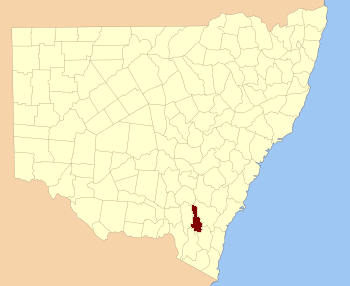
Location in New South Wales
|
|||||||||||||||
|
|||||||||||||||


Cowley County is one of the 141 old land divisions in New South Wales, Australia. These divisions are called cadastral divisions. They were used to help describe and manage land.
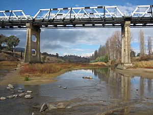
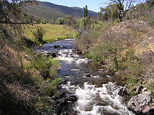
Originally, Cowley County was bordered by two important rivers. The Murrumbidgee River was on its north, east, and part of its south side. The Goodradigbee River formed its western border.
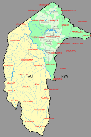
A big change happened in 1909. A large part of Cowley County was given to the Australian government. This land became the Australian Capital Territory (ACT), where Australia's capital city, Canberra, is located.
What's left of Cowley County today? It includes the area northwest of the ACT, reaching up to the Burrinjuck Dam. There are also thin strips of land along the western, southern, and southeastern edges of the ACT. The area of Cavan is found within Cowley County.
Who Was Cowley County Named After?
Cowley County was named to honor a famous person from history. His name was Henry Richard Charles Wellesley. He was the First Earl Cowley and lived from 1804 to 1884.
 | Toni Morrison |
 | Barack Obama |
 | Martin Luther King Jr. |
 | Ralph Bunche |

