Murray County, New South Wales facts for kids
Quick facts for kids MurrayNew South Wales |
|||||||||||||||
|---|---|---|---|---|---|---|---|---|---|---|---|---|---|---|---|
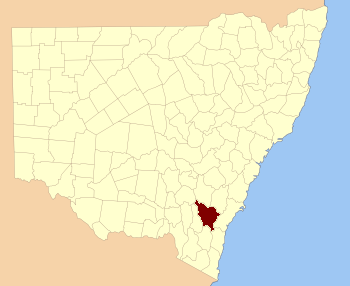
Location in New South Wales
|
|||||||||||||||
|
|||||||||||||||
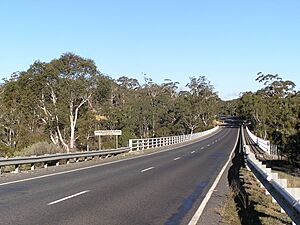
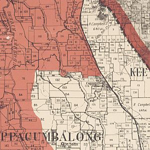
Murray County was one of the first areas of land officially divided in New South Wales. These divisions were called the Nineteen Counties. Today, it is one of 141 special land areas in New South Wales.
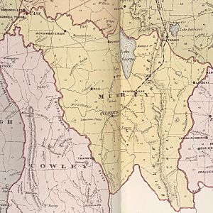
This county once included the land where Canberra now stands. It stretched north to Lake George and Yass. Its original western border was the Murrumbidgee River. The Shoalhaven River was its eastern border. To the north, it was bordered by the Yass River.
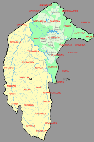
In 1909, a large part of Murray County was given to the Australian government. This was done to create the Australian Capital Territory (ACT). Some land from Cowley County was also included. Because of this, the ACT border now forms part of Murray County's western edge.
Murray County was named after Lieutenant-Governor Sir George Murray. He lived from 1772 to 1846. The area also had an early voting district. It was called the electoral district of United Counties of Murray and St Vincent. This district existed between 1856 and 1859.
What are Parishes?
Land in counties is further divided into smaller sections called parishes. Think of them like smaller neighborhoods within a bigger town. Many parishes in Murray County were affected when the ACT was created.
Parishes that became part of the ACT
Four parishes completely moved into the Australian Capital Territory in 1911. These were Canberra, Yarrolumla, Narrabundah, and Gigerline.
Parishes that were split
Other parishes were split between New South Wales and the ACT. This means only parts of them became part of the ACT. These include:
- Tuggeranong
- Queanbeyan
- Amungula
- Pialligo
- Goorooyarroo
- Ginninderra
- Weetangera
For example, most of the Parish of Weetangera is now in the ACT. Only a small part near Ginninderra falls remains in New South Wales. Similarly, about half of the Parish of Ginninderra joined the ACT. This included the area known as Hall.
A tiny part of the Parish of Bedulluck also became part of the ACT. This is near the northern tip of the territory. The Parish of Pialligo also mostly joined the ACT. This area includes the current airport.
The Parish of Queanbeyan was also split. About half of it is now in the ACT. This includes modern areas like Fyshwick and Hume. A small part of the Parish of Keewong also joined the ACT. This section is east of the Murrumbidgee River.
See also
 In Spanish: Murray (Australia) para niños
 | Ernest Everett Just |
 | Mary Jackson |
 | Emmett Chappelle |
 | Marie Maynard Daly |


