
Dere Street facts for kids
Quick facts for kids Dere Street |
|
|---|---|

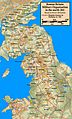
Route of Dere Street in blue
|
|
| Route information | |
| Length | 226 mi (364 km) |
| Time period | Roman Britain |
| Major junctions | |
| From | Eboracum |
| To | Veluniate |
Dere Street was a very important Roman road in Roman Britain. The Romans built it to connect different parts of their empire. It stretched from Eboracum (which is now the city of York) all the way to the Antonine Wall in Scotland. The Antonine Wall was a big barrier built by the Romans.
Today, parts of Dere Street are still used as major roads. For example, some sections of the A1 and A68 roads follow the old Roman route. This shows how well the Romans built their roads!
The name "Dere Street" comes from an old Anglo-Saxon kingdom called Deira. This kingdom existed after the Romans left Britain. The first part of the road went through this kingdom. Sometimes, Dere Street was even called "Watling Street" on old maps. This can be confusing because there was another famous Watling Street that connected Dover to Wroxeter.
Images for kids
-
A map of the Roman north around 84 AD, showing Dere Street between Eboracum and Veluniate near Camelon.
-
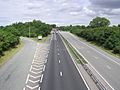
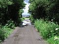
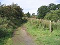
Dere Street near Brompton-on-Swale.
-
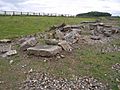
The remains of Piercebridge Roman Bridge over the Tees.
-
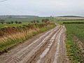
Dere Street at Esh Winning.
-
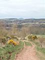
Dere Street close to the Scottish Border.
-
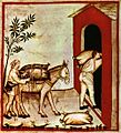
Storing olives on Dere Street, from a 14th-century book called Tacuinum Sanitatis.
-
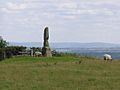
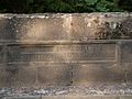
Legg's cross on Dere Street near Bolam in County Durham.
-
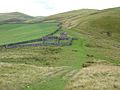
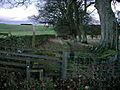
Dere Street at Bildershaw, County Durham.
-
Wheelbirks bridge, near Hindley, Northumberland.
-
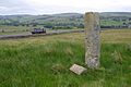
A milestone on Dere Street at West Woodburn, Northumberland.
-
Dere Street at Bonjedward, Scottish Borders.
-
Dere Street at Crailinghall, Scottish Borders.
-
Dere Street at Maxton, Scottish Borders.
-
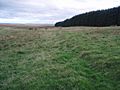
Dere Street at King's Inch, south of Soutra Aisle.


See also
 In Spanish: Dere Street para niños
