Dosewallips River facts for kids
Quick facts for kids Dosewallips River |
|
|---|---|

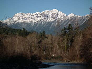
Mount Constance (7,756 ft) above the Dosewallips River in Dosewallips State Park
|
|
|
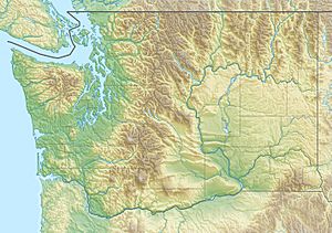
Location of the mouth of the Dosewallips River in Washington
|
|
| Country | United States |
| State | Washington |
| County | Jefferson |
| Physical characteristics | |
| Main source | Olympic Mountains 47°47′1″N 123°20′18″W / 47.78361°N 123.33833°W |
| River mouth | Hood Canal 47°41′6″N 122°53′47″W / 47.68500°N 122.89639°W |

The Dosewallips River (say it like DOH-si-WAW-lips) is a cool river in the U.S. state of Washington. It starts high up in the Olympic Mountains, near Mount Anderson. This area is part of Olympic National Park. From there, the river flows all the way to Hood Canal, which eventually connects to the big Pacific Ocean.
The river actually begins as two smaller streams, called forks. These two forks join together about five miles from where they start. The National Park Service has trails and campsites along both of these forks. There's even a campsite right where the two forks meet.
Unfortunately, the main road that led to the hiking trails was washed out in January 2002. Because of this, the ranger station near the trailhead is no longer used.
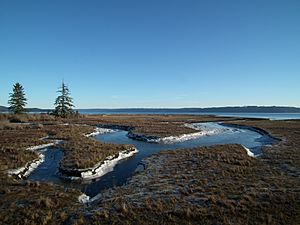
The entire area where the Dosewallips River meets the sea is inside Dosewallips State Park. Groups like Wild Fish Conservancy and the Port Gamble S'Klallam Tribe are working hard to help the salmon here. They are trying to connect the river back to its old floodplain to make it a better home for fish.
River's Name and Legends
The name Dosewallips comes from an old story told by the Twana Native American tribe. The story is about a man named Dos-wail-opsh. He was turned into a mountain at the very beginning of the river.
There are also other stories from the Klallam tribe. These legends talk about a powerful being called the "Great Changer," Doquebatl. In one story, Doquebatl changed a mythical Klallam chief into a mountain at the river's source. Another story says Doquebatl changed a woman into Mount Rainier and her son into Little Tahoma.
River History
In 1923, the Washington State Department of Transportation built a steel truss bridge over the Dosewallips River. This bridge is near the river's mouth in a town called Brinnon. It was built to carry U.S. Route 101, a major highway.
Later, in 1982, there was a plan to build a hydroelectric dam on the river. This dam would have made electricity. However, there was a disagreement about whether the dam should be built. This disagreement even went to the United States Supreme Court in 1994. The court decided that the state could set rules to protect the river's water quality, even if it meant the dam couldn't be built as planned.
 | Emma Amos |
 | Edward Mitchell Bannister |
 | Larry D. Alexander |
 | Ernie Barnes |


