Dover, Minnesota facts for kids
Quick facts for kids
Dover
|
|
|---|---|

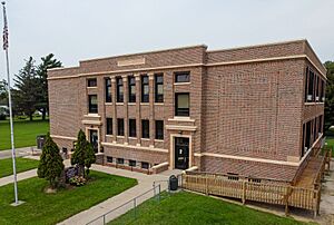
City hall
|
|

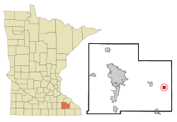
Location of Dover, Minnesota
|
|
| Country | United States |
| State | Minnesota |
| County | Olmsted |
| Area | |
| • Total | 1.00 sq mi (2.60 km2) |
| • Land | 1.00 sq mi (2.60 km2) |
| • Water | 0.00 sq mi (0.00 km2) |
| Elevation | 1,184 ft (361 m) |
| Population
(2020)
|
|
| • Total | 782 |
| • Density | 778.88/sq mi (300.61/km2) |
| Time zone | UTC-6 (Central (CST)) |
| • Summer (DST) | UTC-5 (CDT) |
| ZIP code |
55929
|
| Area code(s) | 507 |
| FIPS code | 27-16264 |
| GNIS feature ID | 2394555 |
Dover is a small city located in Olmsted County, Minnesota, United States. It's a friendly place with a population of 782 people, according to the 2020 census. This makes it a close-knit community where many people know each other.
Contents
Dover's Early Days
Dover was first called Dover Center. This name came from its location near the middle of Dover Township. The city was officially planned and mapped out in 1869. This means people started building homes and businesses there in an organized way.
Where is Dover Located?
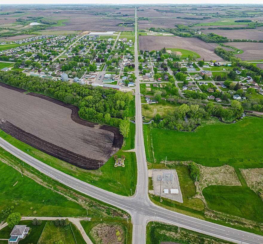
Dover covers an area of about 1 square mile (2.6 square kilometers). All of this area is land. There are no large lakes or rivers within the city limits.
The south branch of the Whitewater River flows near the northern edge of Dover. This river is a natural feature of the area.
Two important roads serve the community. U.S. Route 14 is the main road that goes through Dover. Also, Interstate 90 is a major highway located just south of the city. These roads help people travel to and from Dover easily.
Who Lives in Dover?
| Historical population | |||
|---|---|---|---|
| Census | Pop. | %± | |
| 1880 | 231 | — | |
| 1910 | 233 | — | |
| 1920 | 266 | 14.2% | |
| 1930 | 272 | 2.3% | |
| 1940 | 269 | −1.1% | |
| 1950 | 263 | −2.2% | |
| 1960 | 312 | 18.6% | |
| 1970 | 321 | 2.9% | |
| 1980 | 312 | −2.8% | |
| 1990 | 416 | 33.3% | |
| 2000 | 438 | 5.3% | |
| 2010 | 735 | 67.8% | |
| 2020 | 782 | 6.4% | |
| U.S. Decennial Census | |||
Every ten years, the United States counts its population. This is called a census. The numbers above show how Dover's population has changed over time. You can see that the city has grown quite a bit, especially between 2000 and 2010.
Dover's Population in 2010
In 2010, there were 735 people living in Dover. These people lived in 261 different homes. About 200 of these homes were families. The city had about 735 people for every square mile of land.
Most people living in Dover in 2010 were White (95.6%). A small number were Asian (0.4%), or from other backgrounds. About 4.2% of the population identified as Hispanic or Latino.
Many homes (almost 50%) had children under 18 living there. Most of the families were married couples living together. The average home had about 2.82 people. The average family had about 3.23 people.
The average age of people in Dover in 2010 was 29.7 years old. About 34% of the residents were under 18. About 37% were young adults between 25 and 44 years old. The city had slightly more females (51.2%) than males (48.8%).
Dover's School District
Students in Dover attend schools that are part of the Dover-Eyota School District. This district serves students from both Dover and the nearby town of Eyota.
See also
 In Spanish: Dover (Minnesota) para niños
 | Emma Amos |
 | Edward Mitchell Bannister |
 | Larry D. Alexander |
 | Ernie Barnes |


