
Image: Cuba location map

Size of this PNG preview of this SVG file: 800 × 339 pixels. Other resolution: 320 × 136 pixels.
Original image (SVG file, nominally 1,795 × 761 pixels, file size: 310 KB)
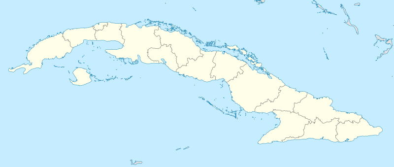
Description: Location map of Cuba
Title: Cuba location map
Credit: Own work, using United States National Imagery and Mapping Agency data
Author: NordNordWest
Usage Terms: Creative Commons Attribution-Share Alike 3.0
License: CC BY-SA 3.0
License Link: http://creativecommons.org/licenses/by-sa/3.0
Attribution Required?: Yes
Image usage
The following 39 pages link to this image:
- Agramonte (Jagüey Grande)
- Alejandro de Humboldt National Park
- Arcos de Canasí
- Baconao
- Birán
- Boquerón, Cuba
- Cabañas, Cuba
- Caguanes National Park
- Calabazar de Sagua
- Cayo Cruz del Padre
- Cayo Fragoso
- Cuban underwater formation
- Cuchillas del Toa
- Daiquirí
- Desembarco del Granma National Park
- El Caney
- Ernst Thälmann Island
- Guardalavaca
- Jardines de la Reina
- Jibacoa (Manicaragua)
- José María Pérez, Cuba
- Kilo 9
- La Luz, Cuba
- Las Terrazas
- Luis Arcos Bergnes, Cuba
- Máximo Gómez, Cuba
- Pablo (Primero de Enero)
- Playa Baracoa
- Pérez Pérez
- SS British Corporal
- San Antonio de las Vueltas
- Siboney, Cuba
- Sierra Cristal National Park
- Sierra del Rosario
- Turquino National Park
- Varadero
- Viñales Valley
- Zapata Swamp
- Template:Location map Cuba

All content from Kiddle encyclopedia articles (including the article images and facts) can be freely used under Attribution-ShareAlike license, unless stated otherwise.