
Image: Equador physical map

Size of this PNG preview of this SVG file: 556 × 599 pixels. Other resolution: 223 × 240 pixels.
Original image (SVG file, nominally 851 × 917 pixels, file size: 3.76 MB)
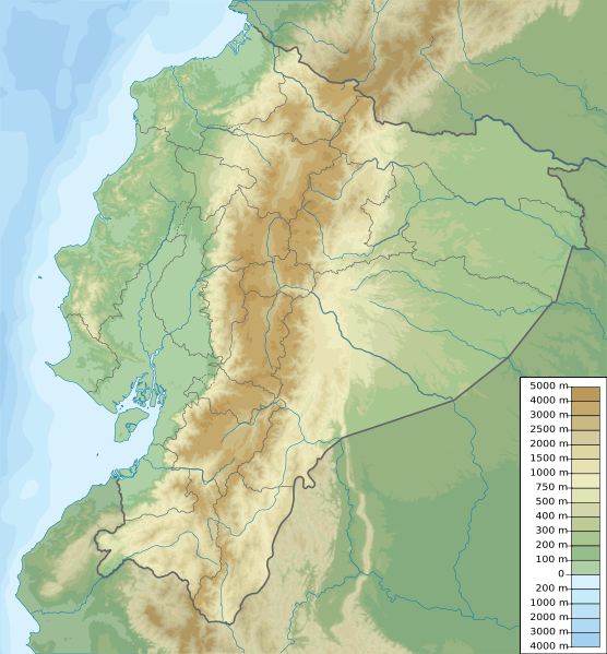
Description: Ecuador physical map, parameters equal to File:Ecuador location map.svg
Title: Ecuador relief location map
Credit: Own work
Author: Urutseg
Usage Terms: Creative Commons Zero, Public Domain Dedication
License: CC0
License Link: http://creativecommons.org/publicdomain/zero/1.0/deed.en
Attribution Required?: No
Image usage
The following image is a duplicate of this image (more details):
The following 28 pages link to this image:
- Antisana
- Atacazo
- Carihuairazo
- Cayapas River
- Cerro Negro de Mayasquer
- Chiles (volcano)
- Chone River
- Cochasquí
- Corazón (volcano)
- Cordillera del Cóndor
- Cotacachi Volcano
- El Altar
- Guayas River
- Hyloscirtus tapichalaca
- Imbabura Volcano
- Inca-Caranqui
- Jubones River
- Pambamarca Fortress Complex
- Pasochoa
- Pichincha (volcano)
- Reventador
- Rumicucho
- Rumiñahui (volcano)
- Sangay
- Sincholagua Volcano
- Sumaco
- Valencia, Ecuador
- Template:Location map Ecuador

All content from Kiddle encyclopedia articles (including the article images and facts) can be freely used under Attribution-ShareAlike license, unless stated otherwise.