
Image: Greenland edcp location map

Size of this PNG preview of this SVG file: 424 × 599 pixels. Other resolution: 170 × 240 pixels.
Original image (SVG file, nominally 1,181 × 1,669 pixels, file size: 870 KB)
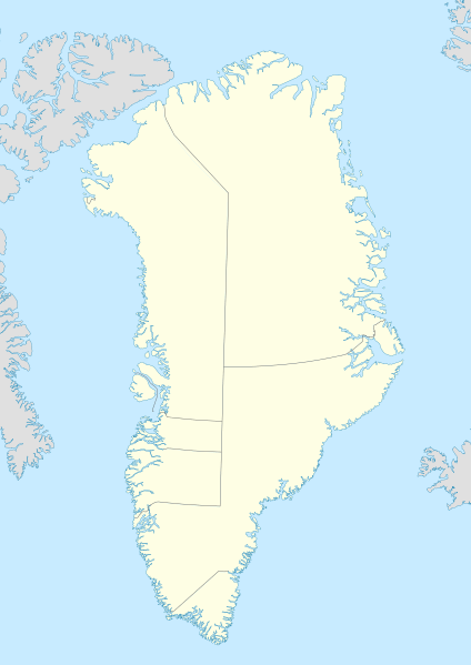
Description: Location map of Greenland. Projection: EquiDistantConicProjection. Area of interest: N: 85.0° N S: 59.0° N W: -75.0° E E: -10.0° E Projection center: NS: 72.0° N WE: -42.5° E Standard parallels: 1: 64.0° N 2: 80.0° N GMT projection: -JD-42.5/72/64/80/20c GMT region: -R-60.16/57.61/24.5/79.91r GMT region for grdcut: -R-120.24/57.61/24.5/85.78r Made with Natural Earth. Free vector and raster map data @ naturalearthdata.com.
Title: Greenland edcp location map
Credit: Own work
Author: Uwe Dedering
Usage Terms: Creative Commons Attribution-Share Alike 3.0
License: CC BY-SA 3.0
License Link: https://creativecommons.org/licenses/by-sa/3.0
Attribution Required?: Yes
Image usage
The following 25 pages link to this image:
- Atammik
- Attu, Greenland
- Clavering Island
- Comer's Midden
- Garðar, Greenland
- Ikertooq Fjord
- Ikigait
- Isortoq Fjord
- Itilleq
- Ivittuut
- Kangaamiut
- Kangaamiut Kangerluarsuat Fjord
- Kangerluarsuk Tulleq
- Maniitsoq
- Maniitsoq Airport
- Maniitsoq Island
- Napasoq
- Nipisat Island
- Qaqortoq
- Ruin Island
- Sarfannguit
- Sarfannguit Island
- Sermersuut Island
- Simiutaq Island
- Sisimiut Airport

All content from Kiddle encyclopedia articles (including the article images and facts) can be freely used under Attribution-ShareAlike license, unless stated otherwise.