
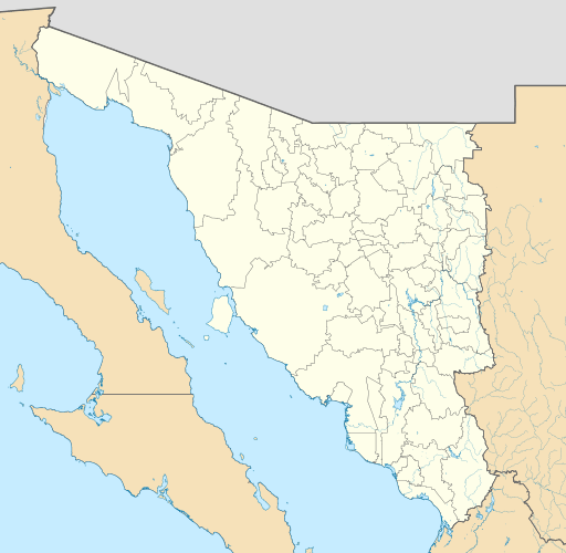
Image: Mexico Sonora location map

Size of this PNG preview of this SVG file: 512 × 500 pixels. Other resolution: 246 × 240 pixels.
Original image (SVG file, nominally 512 × 500 pixels, file size: 976 KB)
Description: Location map of Sonora with the urban areas. EPSG:3857 projection, Geographic limits of the map: N: 32.80° N S: 26.00° N W: 115.50° W E: 107.50° W
Title: Mexico Sonora location map
Credit: Sources of data: INEGI, Marco Geoestadístico Nacional, 2014. (Free use of the data) This file was derived from: Mexico Sonora location map (urban areas).svg
Author: Addicted04 derivative work: Milenioscuro
Usage Terms: Creative Commons Attribution-Share Alike 4.0
License: CC BY-SA 4.0
License Link: https://creativecommons.org/licenses/by-sa/4.0
Attribution Required?: Yes
Image usage
The following 22 pages link to this image:
- Agiabampo
- Agua Prieta
- Altar, Sonora
- Arizpe
- Caborca
- Colonia Soto, Sonora
- Fronteras
- Guaymas International Airport
- Hermosillo International Airport
- Huatabampo
- Isla Ángel de la Guarda
- Navojoa
- Nogales International Airport (Mexico)
- Pinacate Peaks
- Puerto Libertad, Sonora
- San Luis Río Colorado
- San Luis Río Colorado Airport
- Santa Cruz, Sonora
- Tiburón Island
- Ures
- Álamos
- Ímuris

All content from Kiddle encyclopedia articles (including the article images and facts) can be freely used under Attribution-ShareAlike license, unless stated otherwise.