Karragarra Island, Queensland facts for kids
Quick facts for kids Karragarra IslandMoreton Bay, Queensland |
|||||||||||||||
|---|---|---|---|---|---|---|---|---|---|---|---|---|---|---|---|

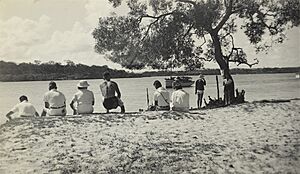
Fenced beach on Karragarra Island, 2012
|
|||||||||||||||
| Population | 240 (2021 census) | ||||||||||||||
| • Density | 100/km2 (260/sq mi) | ||||||||||||||
| Postcode(s) | 4184 | ||||||||||||||
| Area | 2.4 km2 (0.9 sq mi) | ||||||||||||||
| Time zone | AEST (UTC+10:00) | ||||||||||||||
| LGA(s) | Redland City | ||||||||||||||
| State electorate(s) | Redlands | ||||||||||||||
| Federal Division(s) | Bowman | ||||||||||||||
|
|||||||||||||||
Karragarra Island is a small, friendly island located near Brisbane, in Queensland, Australia. It's one of the islands in the Southern Moreton Bay Islands where people live. Karragarra Island is also considered a town and a specific area within the City of Redland. In 2021, about 240 people called Karragarra Island home.
Contents
Exploring Karragarra Island's Location
Karragarra Island is surrounded by beautiful waters. To the south, a narrow waterway called Krummel Passage separates it from Russell Island.
Since there are no bridges, getting to the island is mostly by boat. There are ferry services for both cars and people. For emergencies, there's a special helipad on the foreshore park. This helipad can be used for medical help when needed.
Who Lives on Karragarra Island?
The number of people living on Karragarra Island has been growing.
- In 2011, there were 160 residents. The average age was 61 years old.
- By 2016, the population grew to 204 people.
- In 2021, the island was home to 240 people.
Most people living here were born in Australia. Some also came from countries like England, New Zealand, and Scotland. English is the main language spoken at home.
Learning on the Islands
There are no schools directly on Karragarra Island. Students travel to nearby islands for their education.
- For primary school, children can go to Macleay Island State School or Russell Island State School.
- For high school, students attend Victoria Point State High School on the mainland.
- These schools are easily reached by ferry, making daily travel possible for students.
Island Facilities and Services
Karragarra Island has important services for its community.
- The Karragarra Island Rural Fire Brigade Station helps keep everyone safe. It is located at 11A Noyes Parade.
- There's also a boat ramp and a pontoon on the north-west side of the island. These are great for launching boats and are managed by the Redland City Council.
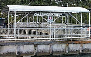
- This area also serves as the main ferry terminal. You can catch a free ferry to other islands or a paid ferry to the mainland from here.
 | DeHart Hubbard |
 | Wilma Rudolph |
 | Jesse Owens |
 | Jackie Joyner-Kersee |
 | Major Taylor |


