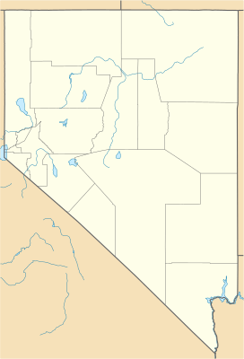
Long Valley (Nevada) facts for kids
Quick facts for kids Long Valley |
|
|---|---|
| Length | 25 mi (40 km) N-S |
| Width | 5 mi (8.0 km) E-W |
| Geography | |
| Country | United States |
| State | Nevada |
| Region | (northwest)-Great Basin |
| District | Washoe County |
| Communities | Vya, NV |
| Borders on | Hays Canyon Range-N & W |
| Lakes | Alkali Lake, Boulder Lake (Nevada), Massacre Lake and Calcutta Lake |
Long Valley is a really long valley, about 25 miles (40 km) from north to south! It's located in the northwest part of Nevada, in Washoe County, Nevada. This valley is special because it's an endorheic basin. This means that any rain or water that falls here stays within the valley and doesn't flow out to the ocean.
To the west, Long Valley is next to the Hays Canyon Range mountains. These mountains slowly turn into rolling hills as you go north. On the east side, there's a big flat area called a plateau. This plateau gets higher and higher, reaching over 7,000 feet (2,134 meters) as it goes towards the Sheldon National Wildlife Refuge.
What is Long Valley Like?
Long Valley got its name because it is so long! Most of the valley floor is made up of small playas. Playas are flat, dry lake beds that sometimes fill with water after it rains. Some of these playas include Calcutta Lake and Boulder Lake.
Around the edges of the valley, you can find different ranches. On the western side of Long Valley, there's even a ghost town called Vya, Nevada. A ghost town is a place where most people have left, and it's mostly empty now.
How Long Valley Was Formed
Long Valley is part of a much larger area called the Basin and Range Province. This huge region has many mountains and valleys that were formed over millions of years.
During a time called the late Pliocene and early Pleistocene epochs (which was a very long time ago!), something amazing happened in the Long Valley area. As the mountains around the valley were pushed up, the valley floor dropped down. At the same time, hot, melted rock called basalt flowed out onto the land.
Because the valley didn't have any natural rivers or streams flowing out of it, water would collect inside. This meant that Long Valley would sometimes fill up with water, turning into a huge ancient lake called Lake Meinzer. At its deepest, Lake Meinzer was about 250 feet (76 meters) deep! Today, much of the valley floor is covered with deposits left behind by this ancient lake.
How to Get to Long Valley
It's possible to visit Long Valley from different directions.
- From the West: You can start from Cedarville, California. You would take California State Route 299. This road is paved until you reach the state border. After that, the road follows an old road called Nevada State Route 8A into the ghost town of Vya.
- Roads Near Vya: Close to Vya, the old Nevada State Route 8A crosses with Nevada State Route 34 (which is now called Washoe County CR34). This road can take you to Long Valley from Gerlach, Nevada in the south. There's also Coleman Valley Road, which goes across Long Valley just north of Vya. It passes east of Calcutta Lake and then heads north towards Adel, Oregon.
- From the East: If you're coming from the east, you can use Nevada State Route 140. This road meets the old Nevada State Route 8A between Denio Junction, Nevada and the Oregon border.
 | Janet Taylor Pickett |
 | Synthia Saint James |
 | Howardena Pindell |
 | Faith Ringgold |


