Merrill Lake (Merrill Creek) facts for kids
Quick facts for kids Merrill Lake |
|
|---|---|
| Location | Cashel portion of Tudor and Cashel, Hastings County and Addington Highlands, Lennox and Addington County, Ontario |
| Coordinates | 44°55′24″N 77°24′11″W / 44.92333°N 77.40306°W |
| Primary inflows | Merrill Creek |
| Primary outflows | Merrill Creek |
| Basin countries | Canada |
| Max. length | 4.3 km (2.7 mi) |
| Max. width | 1.3 km (0.81 mi) |
| Surface elevation | 338 m (1,109 ft) |
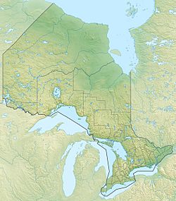
Merrill Lake is a beautiful lake located in Ontario, Canada. It sits right on the border between two areas: Tudor and Cashel in Hastings County and Addington Highlands in Lennox and Addington County. This lake is part of the larger Moira River and Lake Ontario water systems.
About Merrill Lake
Merrill Lake is quite long, stretching about 4.3 kilometres (2.7 mi). It is also about 1.3 kilometres (0.8 mi) wide. The lake sits at an elevation of 338 metres (1,109 ft) above sea level. You can find it about 12 kilometres (7 mi) northeast of a small community called Gunter. It is also about 19 kilometres (12 mi) northwest of another community, Cloyne. The northwest part of the lake is in Tudor and Cashel. The rest of the lake is in Addington Highlands.
Water Flow and Connections
The main stream that flows into Merrill Lake is called Merrill Creek. This creek brings water from Todd Lakes, which are located to the north of the lake's east bay. There are also six other smaller, unnamed creeks that flow into Merrill Lake. One comes from the northwest, three from the north, and two more from the north side of the east bay.
Merrill Creek is also the main way water leaves Merrill Lake. It flows out from the southeast side of the lake. This water then travels towards a smaller body of water called Little Merrill Lake. From there, the water continues its journey through Partridge Creek. It then joins the Skootamatta River, which eventually flows into the Moira River. Finally, the Moira River empties into the Bay of Quinte on Lake Ontario near Belleville.
 | Emma Amos |
 | Edward Mitchell Bannister |
 | Larry D. Alexander |
 | Ernie Barnes |


