Mount Fisher (British Columbia) facts for kids
Quick facts for kids Mount Fisher |
|
|---|---|

Mount Fisher
|
|
| Highest point | |
| Elevation | 2,843 m (9,327 ft) |
| Prominence | 873 m (2,864 ft) |
| Parent peak | Mount Morro (2845 m) |
| Geography | |
| Location | British Columbia, Canada |
| Parent range | Hughes Range Canadian Rockies |
| Topo map | NTS 82G11 |
| Climbing | |
| First ascent | 1913 A. Nichols, G. Lum |
| Easiest route | Scrambling |
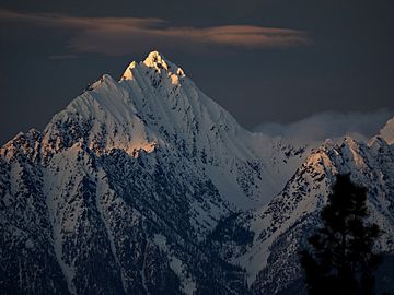
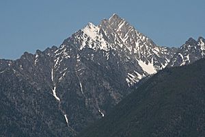
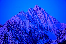
Mount Fisher, also known as Fisher Peak, is a tall mountain in British Columbia, Canada. It stands 2,843-metre (9,327-foot) high in the Hughes Range of the Canadian Rockies. You can see this impressive mountain from the Crowsnest Highway and the city of Cranbrook. It is located east of the historic area of Fort Steele and the Rocky Mountain Trench. The closest higher mountain is Mount Morro, about 23.0 km (14.3 mi) to the north.
Exploring Mount Fisher's History
Mount Fisher got its name in 1915. It was named after John S. ("Jack") Fisher. He was a prospector who found gold in a nearby place called Wildhorse Creek in 1863 and 1864. A mining town grew up there and was named Fisherville. However, the town was later taken down in 1866 so people could dig for more gold where it stood.
The first time anyone climbed to the top of Mount Fisher was in 1913. This amazing climb was done by A. Nichols and G. Lum.
The name "Mount Fisher" became official in 1924. This happened when the Geographical Names Board of Canada approved it.
A cool fact for sports fans: After winning the NHL championship in 2000 and 2007, a hockey player named Scott Niedermayer took the famous Stanley Cup to the top of Mount Fisher! He lived in Cranbrook, near the mountain.
Weather and Climate at Mount Fisher
Mount Fisher has a subarctic climate. This means it has very cold and snowy winters. The summers are usually mild, not too hot. Temperatures can drop below −20 °C. With the wind, it can feel even colder, sometimes below −30 °C.
The water from rain and melting snow on the mountain flows into streams. These streams then join the Kootenay River.
 | Madam C. J. Walker |
 | Janet Emerson Bashen |
 | Annie Turnbo Malone |
 | Maggie L. Walker |


