Mount Merriam facts for kids
Quick facts for kids Mount Merriam |
|
|---|---|

Mount Merriam, west aspect
|
|
| Highest point | |
| Elevation | 5,083 ft (1,549 m) |
| Prominence | 4,383 ft (1,336 m) |
| Isolation | 13.05 mi (21.00 km) |
| Parent peak | Mount Abdallah (6,210 ft) |
| Geography | |
| Location | Glacier Bay National Park Hoonah-Angoon Alaska, United States |
| Parent range | Takhinsha Mountains Alsek Ranges Saint Elias Mountains |
| Topo map | USGS Mount Fairweather D-2 |
| Climbing | |
| Easiest route | Scrambling South ridge |
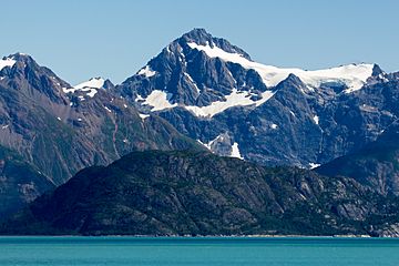
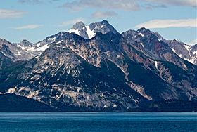
Mount Merriam is a tall mountain in Glacier Bay National Park and Preserve in southeast Alaska. It stands 5,083 feet (1,549 meters) high. This mountain is part of the Alsek Ranges within the larger Saint Elias Mountains.
Mount Merriam is located about 75 miles (121 km) northwest of Juneau. It is also near other peaks like Mount Wordie and Black Cap Mountain. Even though it's not the tallest, Mount Merriam is very noticeable. This is because it rises sharply from the water in just a few miles. It is one of the most prominent peaks in Alaska.
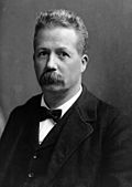
The mountain was named in 1941 during an expedition to Glacier Bay. It honors Dr. Clinton Hart Merriam (1855-1942). Dr. Merriam was a zoologist, someone who studies animals. He worked for the U.S. Department of Agriculture (USDA) Biological Survey. He also explored Glacier Bay during the 1899 Harriman Alaska expedition.
If the weather is clear, you can see Mount Merriam from Glacier Bay. This area is a popular spot for cruise ships. The best time to see or climb the mountain is usually from May to June.
Weather Around Mount Merriam
Mount Merriam has a subarctic climate. This means it has cold, snowy winters and mild summers. Weather systems from the Gulf of Alaska bring a lot of rain and snow. This happens because the Saint Elias Mountains force the air upwards, which is called orographic lift.
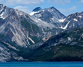
Temperatures can drop very low, sometimes below −20 °C. With wind, it can feel even colder, below −30 °C. Because of this cold climate, there are several glaciers on the mountain's slopes. One of these is the Twin Glacier, located just south of the summit. Water from the mountain and melting glaciers flows into Glacier Bay Basin.
 | Percy Lavon Julian |
 | Katherine Johnson |
 | George Washington Carver |
 | Annie Easley |


