Mount Waumbek facts for kids
Quick facts for kids Mount Waumbek |
|
|---|---|
| Highest point | |
| Elevation | 4,006 ft (1,221 m) |
| Prominence | 1,289 ft (393 m) |
| Listing | White Mountain 4000-Footers |
| Geography | |
| Location | Coös County, New Hampshire, U.S. |
| Parent range | Pliny Range |
| Topo map | USGS Pliny Range |
| Climbing | |
| Easiest route | Hike |
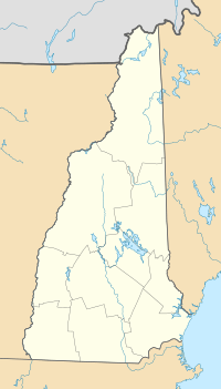
Mount Waumbek is a mountain found in Coös County, New Hampshire. It is part of the Pliny Range, which is a smaller part of the larger White Mountains. Mount Waumbek is quite tall, reaching over 4,000 feet (about 1,220 meters) high. This makes it one of the famous "Four-thousand footers" in New Hampshire.
Contents
About Mount Waumbek
Mount Waumbek stands proudly among other mountains. To its northeast is Mount Weeks. To the west, you'll find Mount Starr King. And to the southeast is Pliny Mountain.
Water Flow from the Mountain
Water from Mount Waumbek flows into different streams and brooks. These waters eventually join the Israel River. The Israel River then flows into the larger Connecticut River. Finally, the Connecticut River carries the water all the way to Long Island Sound.
Hiking to the Top
Mount Waumbek is a popular spot for hikers. It is one of the mountains listed by the Appalachian Mountain Club as a "Four-thousand footers". This means it's a challenge many hikers aim to complete. The mountain is also located inside the White Mountain National Forest. This forest is a protected area for nature and wildlife.
The Starr King Trail
You can reach the top of Mount Waumbek using the Starr King Trail. This trail starts from U.S. Route 2 near Jefferson village. The Starr King Trail is also a part of the longer Cohos Trail. The trail goes up steadily to the summit of Mount Starr King first. From there, it continues along the ridge to the wooded top of Mount Waumbek.
Wildlife on the Mountain
Near the summit of Mount Starr King, you might spot some friendly birds. A group of Canada jays lives there all year round. These birds are known for being quite social.
A Look into the Past
On some older maps, Mount Waumbek was called "Pliny Major." It was located in an area that was not settled by people, called Kilkenny.
Ski Resort Plans
In the early 1960s, there were plans to build a ski resort on the northern side of Waumbek. This resort was going to be named Willard Basin Ski Area. However, the project was stopped. The land was then given to the United States government.
 | Jewel Prestage |
 | Ella Baker |
 | Fannie Lou Hamer |


