National Register of Historic Places listings in Talbot County, Maryland facts for kids
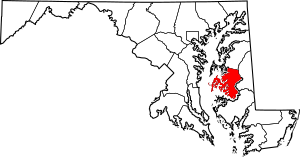
Talbot County, Maryland, is a beautiful place with a rich history! Many of its special buildings, boats, and areas are listed on the National Register of Historic Places. This is like a special list kept by the United States government. It helps protect places that are important to our country's history and culture.
In Talbot County, there are 62 different places and areas on this list. Five of these are even more special and are called National Historic Landmarks. They are super important! Let's explore some of these amazing historic treasures.
| Allegany - Anne Arundel - Baltimore (city) - Baltimore County - Calvert - Caroline - Carroll - Cecil - Charles - Dorchester - Frederick - Garrett - Harford - Howard - Kent - Montgomery - Prince George's - Queen Anne's - Somerset - St. Mary's - Talbot - Washington - Wicomico - Worcester |
Historic Buildings and Homes
Talbot County has many old houses and churches that tell stories of the past. These buildings show us how people lived long ago and what their communities were like.
All Saints' Church: A Historic Place of Worship
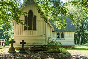
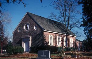
All Saints' Church in Easton is a beautiful old church. It was built a long time ago and has been a central part of the community for many years. It's located on Maryland Route 662 and was added to the National Register in 1983.
The Anchorage: A Grand Old Home
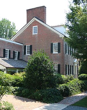
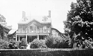
The Anchorage is a historic home located northwest of Easton. It's a large house that shows us the style of homes built in the past. This property was recognized for its history in 1974.
Barnaby House: A Gem in Oxford
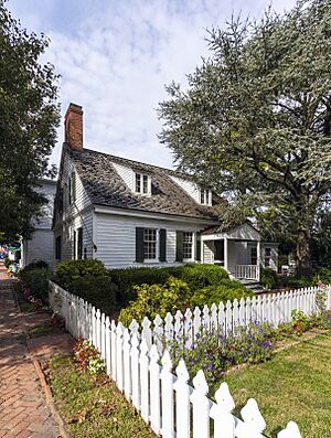
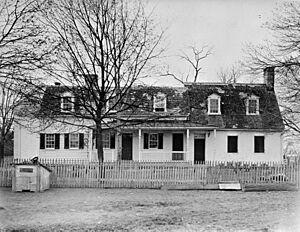
In the charming town of Oxford, you'll find the Barnaby House at 212 North Morris Street. This house was added to the National Register in 1992, showing its importance to the town's history.
Cannonball House: A Story from the War
The Cannonball House in St. Michaels gets its name from a cannonball that hit it during the War of 1812! It's located on Mulberry Street and is a reminder of a dramatic moment in local history. It became a historic listing in 1980.
Hope House: A Countryside Treasure
Hope House is a historic home located northwest of Easton. It's a beautiful example of older architecture in the Maryland countryside. It was added to the National Register in 1979.
Jena: A Historic Estate in Oxford
East of Oxford, off Maryland Route 333, is Jena. This historic estate was recognized in 1980. It's another example of the grand homes that once dotted the landscape of Talbot County.
Miller's House: Part of Wye Mill's History
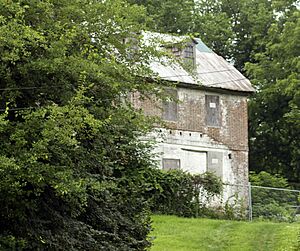
The Miller's House is located on Old Wye Mills Road in Wye Mills. It's connected to the historic Wye Mill, which we'll talk about later. This house was added to the National Register in 2010.
Old Bloomfield: An Easton Landmark
West of Easton, on Bloomfield Road, stands Old Bloomfield. This historic property was listed in 1980, preserving its unique character and history.
The Old Inn: A St. Michaels Classic
The Old Inn is located at the corner of Talbot and Mulberry Streets in St. Michaels. This building has been a part of the town's life for a long time and was added to the National Register in 1980.
Old Wye Church: A Very Old Church
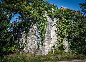
Old Wye Church, located in Wye Mills, is one of the oldest churches in Maryland. It's a very special place that has seen centuries of history. It was listed in 1984.
Otwell: Another Oxford Gem
Otwell is a historic property on Otwell Road in Oxford. It was added to the National Register in 1982, highlighting its importance to the area's heritage.
Saint Michaels Mill: A Historic Working Mill
The Saint Michaels Mill, at 100 Chew Avenue, is a historic mill. Mills were very important in the past for grinding grain. This mill was listed in 1982.
St. John's Chapel: A Chapel with History
St. John's Chapel of St. Michael's Parish is located west of Easton. This chapel has a long history and was added to the National Register in 1973.
Tidewater Inn: A Grand Hotel
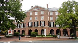
The Tidewater Inn, at 101 East Dover Street in Easton, is a well-known historic hotel. It has welcomed guests for many years and was listed in 2007.
Troth's Fortune: A Historic Farmhouse
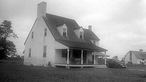
Troth's Fortune is a historic farmhouse near Easton. It's located on Triple Farm Way and was recognized in 1975 for its historical significance.
Wye House: A National Historic Landmark
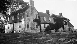
Wye House, located northwest of Easton, is one of the five National Historic Landmarks in Talbot County. This means it's incredibly important to the history of the entire country! It was listed in 1970.
Wye Mill: A Living Piece of History
Wye Mill, on Old Wye Mills Road, is a very old and important mill. It's still working today, showing how things were done centuries ago. It was listed in 1985.
Historic Districts: Whole Neighborhoods with Stories
Sometimes, it's not just one building that's historic, but a whole area! These are called historic districts. They help protect the look and feel of old towns.
Easton Historic District: A Walk Through Time
The Easton Historic District covers a large part of downtown Easton. It includes many old buildings and streets that show the town's history. This district was listed in 1980.
Oxford Historic District: Preserving a Waterfront Town
The Oxford Historic District includes much of the charming waterfront town of Oxford. It helps keep the historic character of this beautiful area. It was added to the National Register in 2005.
St. Michaels Historic District: A Maritime Village
The St. Michaels Historic District protects the historic heart of St. Michaels, a famous maritime town. It includes many old buildings and waterfront areas. This district was listed in 1986.
Historic Boats: Floating History
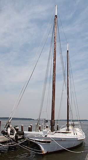
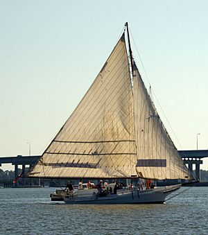
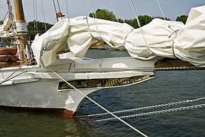
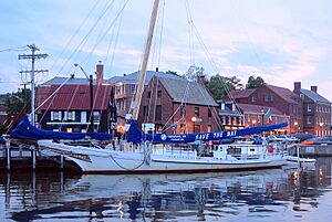
Talbot County is on the water, so it's no surprise that many historic boats are on the National Register! These boats, especially skipjacks and log canoes, tell the story of Maryland's Chesapeake Bay.
Edna E. Lockwood: A Famous Bugeye
The Edna E. Lockwood is a type of boat called a bugeye. It's a National Historic Landmark and is located at Navy Point in St. Michaels. This boat is a rare example of its kind and was listed in 1986.
Hilda M. Willing: A Classic Skipjack
The Hilda M. Willing is a skipjack, a traditional type of oyster dredging boat from the Chesapeake Bay. It's a National Historic Landmark and is located in Tilghman. It was listed in 1985.
Kathryn: Another Important Skipjack
The Kathryn is another skipjack that is a National Historic Landmark. It's found in Dogwood Harbor, Tilghman Island, and was recognized in 1985. These boats are living history!
Rebecca T. Ruark: A National Historic Landmark Skipjack
The Rebecca T. Ruark is also a skipjack and a National Historic Landmark. Located in Tilghman, it's another important example of these historic working boats. It was listed in 1985.
Stanley Norman: A Skipjack in St. Michaels
The Stanley Norman is a skipjack located in Edgar Cove, St. Michaels. It was listed in 1985, showing the importance of these boats to the region's heritage.
Other Interesting Historic Sites
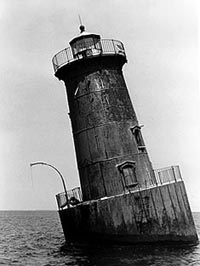
Sharps Island Light: A Lighthouse in the Bay
The Sharps Island Light is a lighthouse located southwest of Tilghman Island. Lighthouses are important for guiding ships safely. This historic lighthouse was listed in 1982.
Paw Paw Cove Site: An Archaeological Mystery
The Paw Paw Cove Site is a special place in Tilghman. Its exact location is kept secret to protect it, but it's an archaeological site. This means it holds clues about people who lived there long, long ago. It was listed in 2009.
Images for kids


