Penycloddiau facts for kids
Quick facts for kids Penycloddiau |
|
|---|---|

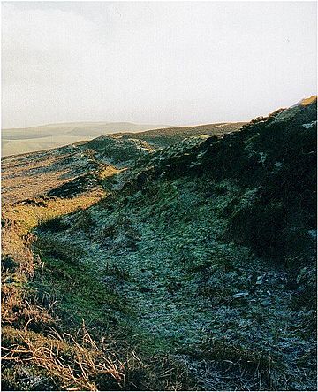
A view of the outer defence wall at Penycloddiau hill fort
|
|
| Highest point | |
| Elevation | 440 m (1,440 ft) |
| Prominence | 156 m (512 ft) |
| Parent peak | Moel Famau |
| Listing | Marilyn |
| Naming | |
| English translation | hill of the trenches |
| Language of name | Welsh |
| Geography | |
| Location | Flintshire, Wales |
| Parent range | Clwydian Range |
| OS grid | SJ127678 |
| Topo map | OS Landranger 116 |
Penycloddiau is a cool hill located in Flintshire, Wales. It's one of five special hills called "Marilyns" found in the beautiful Clwydian Range. A Marilyn is a hill that rises at least 150 meters (about 492 feet) above the land around it.
Contents
Discovering Penycloddiau's Past
Just like other nearby hills such as Foel Fenlli and Moel Arthur, Penycloddiau has an ancient Iron Age hillfort at its very top. This hillfort is like a giant, old fort built on a hill. It covers a huge area of about 26 hectares (that's like 64 football fields!), making it one of the largest hillforts in all of Wales.
Unearthing Ancient Tools
In 2017, a group of archaeologists called the Clywdian Range Archaeology Group (CRAG) started digging at Penycloddiau. They made an amazing discovery! They found many stone tools that were about 4,000 years old. These tools came from the Bronze Age, a time long before the Iron Age. This discovery shows that people were living and using this area much earlier than experts first thought.

Exploring the Hill Today
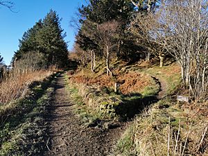
Penycloddiau is a popular spot for hikers and walkers. Two famous long distance footpaths cross over the hill: the Offa's Dyke Path and the Clwydian Way. These paths let people explore the stunning hills in this area.
Getting to the Summit
If you want to visit Penycloddiau, there's a free car park located between Penycloddiau and Moel Arthur. From there, two different footpaths lead you right up to the summit of the hill. It's a great way to see history and nature all at once!
 | Janet Taylor Pickett |
 | Synthia Saint James |
 | Howardena Pindell |
 | Faith Ringgold |

