Prince Gustaf Adolf Sea facts for kids
Quick facts for kids Prince Gustaf Adolf Sea |
|
|---|---|

Location
|
|
| Location | Arctic Ocean |
| Coordinates | 78°30′30″N 106°45′40″W / 78.50833°N 106.76111°W |
| Type | Sea |
| Basin countries | Nunavut and Northwest Territories, Canada |
| Max. length | 800 km (500 mi) |
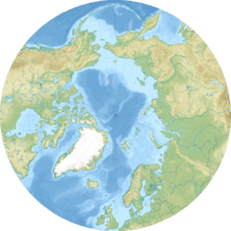
The Prince Gustaf Adolf Sea is a cool part of the Arctic Ocean. It's a 'marginal sea,' which means it's on the edge of a much bigger ocean. You can find it way up north in Canada. It touches parts of the Qikiqtaaluk Region and the Inuvik Region.
Where is the Prince Gustaf Adolf Sea?
This sea is nestled among many islands in the Arctic Archipelago. Think of it like a giant puzzle of islands in the far north! To its west, you'll find Borden Island and Mackenzie King Island. On its eastern side is Ellef Ringnes Island. If you look south, you'll see Lougheed Island. The sea connects to the main Arctic Ocean in the north. To the south, it links up with the Byam Martin Channel and Maclean Strait.
How Did it Get its Name?
The Prince Gustaf Adolf Sea got its name in 1898. It was named by a famous explorer named Otto Sverdrup. He was a Norwegian explorer who mapped many parts of the Arctic. He named the sea after Gustav VI Adolf. At the time, Gustav was a prince of Sweden. Later, he became the King of Sweden.


