Seven Troughs Range facts for kids
Quick facts for kids Seven Troughs Range |
|
|---|---|
| Highest point | |
| Peak | Seven Trough Peak |
| Elevation | 2,376 m (7,795 ft) |
| Dimensions | |
| Length | 19 mi (31 km) NNE-SSW |
| Width | 5 mi (8.0 km) E-W |
| Area | 140 sq mi (360 km2) |
| Geography | |
| Country | United States |
| State | Nevada |
| District | Pershing County |
| Topo map | USGS Seven Troughs, Juniper Flat and Rocky Canyon 7.5 min. quads |
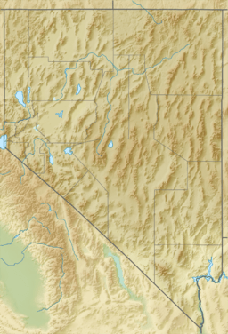
The Seven Troughs Range is a cool mountain range. You can find it in western Pershing County, Nevada. It got its interesting name from seven special watering troughs. These troughs were placed near springs for animals to drink from.
This mountain range is about 19 miles (30 kilometers) long. It stretches from the north-northeast to the south-southwest. It is also about 5 miles (8 kilometers) wide. The highest point in the range is Seven Trough Peak. This peak reaches an elevation of 2,376 meters (7,795 feet).
What's Around the Range?
The Seven Troughs Range has many interesting neighbors. Here are some of the places nearby:
- To the north, you'll find the Kama and Antelope mountains.
- The Majuba Mountains are located to the northeast.
- To the southeast, there's Sage Valley and the Trinity Range. The town of Lovelock is also in that direction.
- Granite Springs Valley is situated to the south.
- The Sahwave Mountains and the smaller Blue Wing Mountains are to the southwest.
- Kumiva Valley and the Selenite Range are found to the west.
- To the northwest, you'll see the famous Black Rock Desert.
Old Mining Towns
Along the southeast side of the Seven Troughs Range, you can find some old ghost towns. These towns date back to the early 1900s. They were once busy places because of gold mining in the nearby canyons.
These towns are now empty, but their names remain. Moving from northeast to southwest, you can find the sites of:
These places are like a peek into the past. They show what life was like during the gold rush days in Nevada.
 | Madam C. J. Walker |
 | Janet Emerson Bashen |
 | Annie Turnbo Malone |
 | Maggie L. Walker |


