St. Mary River (Alberta–Montana) facts for kids
Quick facts for kids Saint Mary River |
|
|---|---|

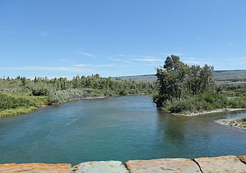
St. Mary River downstream from Saint Mary Lake
|
|
|
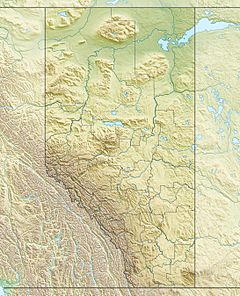
Location of the mouth in Alberta
|
|
| Countries | United States and Canada |
| State | Montana |
| Province | Alberta |
| Physical characteristics | |
| Main source | near Gunsight Lake Glacier National Park, Lewis Range, Glacier County, Montana, United States 7,560 ft (2,300 m) 48°37′13″N 113°44′37″W / 48.62028°N 113.74361°W |
| River mouth | Oldman River near Cottonwood Park, Alberta, Canada 2,739 ft (835 m) 49°37′38″N 112°53′13″W / 49.62722°N 112.88694°W |
The Saint Mary River is a special river that flows across the border between the United States and Canada. It starts in Montana and ends up in Alberta. This river is a tributary (a smaller river that flows into a larger one) of the Oldman River. The Oldman River then joins the South Saskatchewan River.
Along with the Belly River and Waterton River, the Saint Mary River helps drain a part of Montana. This water eventually flows into the Hudson Bay in Canada.
Where the Saint Mary River Starts and Flows
The Saint Mary River begins as a small stream on Gunsight Mountain. This mountain is located inside Glacier National Park in Montana.
From there, the river flows into Gunsight Lake. Next, it enters Saint Mary Lake, which is a larger lake. After leaving the park, the river continues into Lower St. Mary Lake. This lake is found within the Blackfeet Indian Reservation.
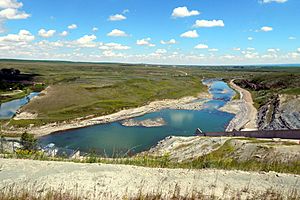
As the river leaves the reservation, it crosses into Alberta, Canada. It then flows into the St. Mary Reservoir. Finally, the Saint Mary River joins the Oldman River. The Oldman River eventually reaches the South Saskatchewan River. The Saint Mary River also flows near the town of Cardston and the city of Lethbridge in Alberta.
How the Saint Mary River Helps with Irrigation

The Saint Mary River is very important for providing water to farms in Southern Alberta. This is done through a system called the St. Mary River Irrigation District (SMRID). It is the biggest irrigation district in Canada.
The SMRID uses a network of canals and pipelines. These stretch for about 2,060 kilometres (1,280 mi). They deliver water to a large area of land, roughly 1,505 square kilometres (372,000 acres). This land is located south of the Oldman and South Saskatchewan Rivers. It is between the cities of Lethbridge and Medicine Hat.
History of the Irrigation Project
The project to use the Saint Mary River for irrigation began a long time ago in 1898. By September 4, 1900, water from the project first reached the city of Lethbridge. This was a big step for farming in the area.
In December 1945, the Canadian Pacific Railway handed over control of these projects. The government of Alberta then took over. They created the St. Mary and Milk River Development (SMRD). A dam was built on the Saint Mary River in 1946 to help the irrigation system. Water finally reached Medicine Hat in 1954. This happened after the St. Mary Main Canal was finished.
 | Lonnie Johnson |
 | Granville Woods |
 | Lewis Howard Latimer |
 | James West |


