Swift Current-Battleford Trail facts for kids
| Lua error in Module:Location_map at line 420: attempt to index field 'wikibase' (a nil value). | |
| Established | 1883 |
|---|---|
| Location | Swift Current, Saskatchewan |
| Type | Historic Trail |
The Swift Current-Battleford Trail was a very important path in the late 1800s. It was about 190 miles (300 km) long. This trail connected the towns of Swift Current and Battleford in Saskatchewan.
People used it a lot for travel and sending messages. There was a busy trade in buffalo bones, which brought many carts to the trail. So many Red River Carts used the trail that you can still see the deep tracks (called ruts) in the ground today! Because of its history, the Battleford Trail became a special provincial heritage site in 1982.
Contents
History of the Trail
First Nations Era
Long ago, before Europeans arrived, First Nations people likely used this path. They traveled between their winter homes north of Battleford and the rich summer bison hunting grounds near Swift Current.
Métis Era
The Métis people used the trail first when they hunted buffalo across the prairies. In 1883, the railway reached Swift Current. Smart Métis people then started hauling goods and mail along the trail to Battleford. Before this, goods came all the way from Winnipeg.
Soon, settlers, merchants, traders, and even government officials followed the Métis. They all began using the trail. The path was so popular that a stagecoach service started. It carried people, goods, and mail between the two towns.
Railway Era
Fort Battleford was the main government center for the Northwest Territories. In 1883, the Canadian Pacific Railway arrived in Swift Current. Swift Current became the closest railway stop to Battleford. This made it Battleford's main way to connect with the outside world until 1891. An official map of the trail was made by R.C. Laurie in 1886.
Northwest Rebellion Era
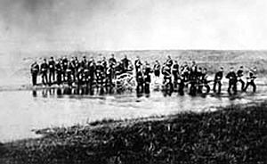
During the North-West Rebellion in 1885, the trail was very important. Colonel William D. Otter and his troops used the route. About 50 North-West Mounted Police (NWMP) officers also traveled it. They marched from Swift Current to Battleford to face Louis Riel’s forces.
The NWMP patrolled the trail to make sure military supplies arrived safely. They protected 500 troops and 200 civilian drivers. These drivers were hired to haul the supplies. After 1886, fewer police were in the area. But they still patrolled to keep things safe, enforce laws, and help settlers. For several years, many people, goods, and mail used the trail.
Era of Decline
The trail was only very busy for about seven years. This is because a new railway was built in 1890. It connected Regina and Prince Albert through Saskatoon. This made Saskatoon the closest railway to Battleford. It also marked the end of the Swift Current-Battleford Trail's main use. However, people still used parts of the trail for local travel as late as 1925.
Important Spots on the Trail
Sixty Mile Bush Outpost
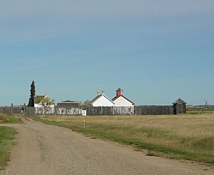
The Sixty Mile Bush Outpost was a key rest stop on the Swift Current-Battleford Trail. It was near where the town of Biggar, Saskatchewan is today. It got its name because it was about sixty miles south of Battleford.
This outpost was a NWMP post. It was also a stopping place for travelers and the stagecoach. "Half-way houses" were set up about every forty miles along the trail. These places gave stagecoaches fresh horses. They also had food and supplies for travelers to rest, especially in winter.
In 1910, some Métis people were ranching in the area. A Catholic mission was also started there. Settlers began arriving around 1906 to claim land. A monument was put up to remember the Sixty Mile Bush Outpost. It says a log house here offered lodging. Two NWMP officers were stationed here from 1886 to 1889. The house later became a store for settlers. A Roman Catholic Church was built there in 1906. The settlement ended around 1911. This happened after the Grand Trunk Pacific Railway and the town of Biggar were built nearby.
Battleford Trail Wheel Rut Area
The Battleford Trail Wheel Rut Area is in the city of Swift Current. It is a small area of native grass prairie. Here, you can see two deep, parallel ruts. These marks in the ground were made by Red River Carts and wagon wheels. They are what's left of the historic Swift Current-Battleford Trail. This area has been named a Municipal Heritage Property.
Communities Near the Trail
Many modern towns and cities are on or near the old Swift Current-Battleford trail. Some, like Swift Current and Battleford, were there when the trail was active. Others have grown up along the trail since then.
- Swift Current
- Stewart Valley
- Saskatchewan Landing
- Kyle
- Sanctuary
- Otter Spring
- Elrose
- Rosetown
- Herschel
- Biggar
- Cando
- Mosquito First Nation
- Battleford
 | Precious Adams |
 | Lauren Anderson |
 | Janet Collins |


