Tomahawk, Tasmania facts for kids
Quick facts for kids TomahawkTasmania |
|||||||||||||||
|---|---|---|---|---|---|---|---|---|---|---|---|---|---|---|---|

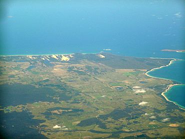
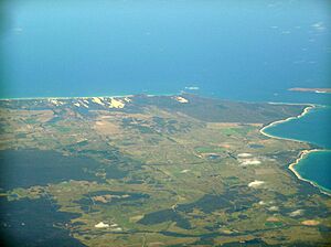
Tomahawk is just below the lower point on the right
|
|||||||||||||||
| Population | 48 (2016 census) | ||||||||||||||
| Postcode(s) | 7262 | ||||||||||||||
| Location |
|
||||||||||||||
| LGA(s) | Dorset Council | ||||||||||||||
| Region | North-east | ||||||||||||||
| State electorate(s) | Bass | ||||||||||||||
| Federal Division(s) | Bass | ||||||||||||||
|
|||||||||||||||
Tomahawk is a small country area in Tasmania, Australia. It is part of the Dorset Council region in the North-east. This quiet spot is about 65 kilometers (about 40 miles) north-east of the town of Scottsdale.
According to the 2016 census, only 48 people live in Tomahawk. It's a very small community! Even though it's tiny, Tomahawk has a caravan park with a small shop. It also has a boat ramp, which is great because the area is famous for its excellent fishing.
History of Tomahawk
Tomahawk became an official place name in 1965. Before that, it had a few different names. From 1845, it was known as "Portland." Later, it was called "Du Cane" until 1934. This name honored Governor Charles Du Cane, who was an important leader in Tasmania.
Where is Tomahawk?
Tomahawk is located right next to the water. Most of its northern edge is formed by the beautiful Ringarooma Bay. This bay is a part of the larger Bass Strait, which separates Tasmania from mainland Australia. The Tomahawk River also flows through the area. It forms the south-western border before heading north.
Getting Around Tomahawk
Even though Tomahawk is small, it has a few roads that help people get around. Waterhouse Road (also known as Route B82) goes through the area from west to east. If you want to go right into the village, you can take Tomahawk Road (Route C836). It starts from Waterhouse Road and leads straight to the village. There's also Banca Road (Route C840), which starts from Waterhouse Road and heads south out of the area.


