Tuckertown Reservoir facts for kids
Quick facts for kids Tuckertown Reservoir |
|
|---|---|
 |
|
| Location | North Carolina |
| Coordinates | 35°29′56″N 80°10′52″W / 35.499°N 80.181°W |
| Type | reservoir |
| Primary inflows | Yadkin River |
| Primary outflows | Yadkin River |
| Basin countries | United States |
| Surface elevation | 564.7 ft (172.1 m) |
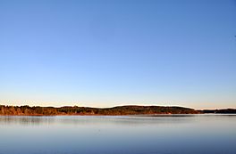
The Tuckertown Reservoir is a large reservoir in North Carolina, USA. It was created by building the Tuckertown Dam at one end and the High Rock Dam at the other. This area is part of the beautiful Uwharrie Lakes Region.
Contents
What is Tuckertown Reservoir?
A reservoir is like a big, artificial lake. It's built to store water for different uses. The Tuckertown Reservoir gets its water from the Yadkin River. It is a long, wide waterway that follows the path of the river.
Where is Tuckertown Reservoir Located?
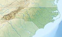
This reservoir stretches across several counties in North Carolina. You can find parts of it in Davidson County, Stanly County, Montgomery County, and Rowan County. The main dam, Tuckertown Dam, connects Stanly County and Montgomery County. The reservoir sits in a narrow valley. This valley is on the western edge of the very old Uwharrie Mountains.
How is the Reservoir Used?
The Tuckertown Reservoir is very important for making electricity. It uses a process called hydroelectric power generation. This means that the force of water flowing through the dam spins special turbines. These turbines then create electricity. For many years, a company called Alcoa managed and operated the dam. In 2017, another company, Cube Hydro Carolinas LLC, took over the management.
Crossing the Reservoir
There are several bridges that cross over the Tuckertown Reservoir. These bridges help people travel between different towns and areas.
- The Bringle Ferry Bridge connects High Rock in Davidson County with Pooletown in Rowan County. From this bridge, you can get a great view of the High Rock Dam.
- Another important crossing is the NC Hwy 49 Bridge at Tuckertown.
- Further north from the Bringle Ferry Bridge, you'll find the Interstate 85 crossing near Salisbury.
- There are also smaller bridges located in the back areas of the lake's creeks.
The next major bridge south of the NC Hwy 49 Bridge is the James B. Garrison Bridge. This bridge crosses over Lake Tillery, which is another nearby body of water. It connects the towns of Albemarle and Troy.
 | Kyle Baker |
 | Joseph Yoakum |
 | Laura Wheeler Waring |
 | Henry Ossawa Tanner |


