Vegas Creek, Nevada facts for kids
Quick facts for kids
Vegas Creek
|
|
|---|---|
|
Former CDP
|
|
| Country | United States |
| State | Nevada |
| Counties | Clark |
| Area | |
| • Land | 5.40 sq mi (13.98 km2) |
| Time zone | UTC-8 (Pacific (PST)) |
| • Summer (DST) | UTC-7 (PDT) |
| ZIP code |
89121
|
| Area code(s) | 702 |
| FIPS code | 32-78400 |
Vegas Creek was a special kind of community in Clark County, Nevada. It was located southeast of the famous city of Las Vegas. In 1970, about 8,970 people lived there.
Vegas Creek was known as a "census-designated place" (CDP). This means it was an area identified by the government for counting people, but it wasn't an officially incorporated city or town. By 1980, the Vegas Creek area became part of another CDP called Sunrise Manor. The postal code for this area is 89121.
Where Was Vegas Creek?
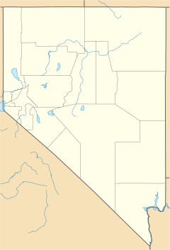
Vegas Creek was located at a specific spot on the map: 36.129740 degrees north and 115.074270 degrees west. It was bordered by other census areas. To the west, you would find Winchester and Paradise. To the south, it was next to East Las Vegas.
The total land area of Vegas Creek was about 5.4 square miles. This area had around 3,086 homes or housing units.
Learning in Vegas Creek
The Clark County School District was in charge of schools for the Vegas Creek area. This school district also serves all of Clark County, making sure students have places to learn and grow.
 | William L. Dawson |
 | W. E. B. Du Bois |
 | Harry Belafonte |


