West Hills (Box Elder County, Utah) facts for kids
Quick facts for kids West Hills |
|
|---|---|
| Highest point | |
| Peak | Limekiln Knoll |
| Elevation | 6,660 ft (2,030 m) |
| Dimensions | |
| Length | 20 mi (32 km) NNW x SSE |
| Width | 13 mi (21 km) (variable) |
| Geography | |
| Country | United States |
| Cities | Blue Creek and Portage |
| Range coordinates | 41°57′55″N 112°21′14″W / 41.965201°N 112.353855°W |
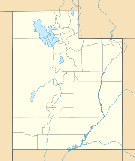
The West Hills are a mountain range located in the northeastern part of Box Elder County, Utah, United States. This mountain range is about 20 miles (32 kilometers) long. It connects to the Samaria Mountains in southern Idaho to the north. The West Hills also link up with the Blue Spring Hills to the southwest.
West of both the Blue Spring Hills and the West Hills, you'll find a long valley that runs north to south. This is called the Blue Creek Valley. The West Hills and Blue Spring Hills are also west of the Bear River (Great Salt Lake). This river flows south and eventually empties into Bear River Bay, which is part of the Great Salt Lake.
About the West Hills
The West Hills mountains generally stretch from the northwest to the southeast. The peaks in this range are usually between 5,000 and 6,000 feet high.
Tallest Point
The highest point in the West Hills is a peak called Limekiln Knoll. It is located in the far northwest part of the range. Limekiln Knoll stands at about 6,660 feet (2,030 meters) tall. It is very close to the Idaho border and the Samaria Mountains.
Nearby Roads
You can find major roads near the West Hills. Interstate 15 runs alongside the eastern and southeastern sides of the mountains. This highway follows the Malad River, which flows south into the Bear River.
Another important road, Interstate 84, crosses the area. It passes between the Blue Spring Hills to the southwest. This route connects Idaho (to the northwest) with cities like Tremonton and Brigham City to the southeast.
 | Delilah Pierce |
 | Gordon Parks |
 | Augusta Savage |
 | Charles Ethan Porter |


