Whites Butte facts for kids
Quick facts for kids Whites Butte |
|
|---|---|

|
|
| Highest point | |
| Elevation | 4,860 ft (1,480 m) |
| Prominence | 360 ft (110 m) |
| Parent peak | Vesta Temple (South Rim) |
| Geography | |
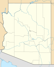
| Location | Grand Canyon Coconino County, Arizona. U.S. |
| Topo map | USPS Grand Canyon |
| Geology | |
| Age of rock | Pennsylvanian down to Early Paleoproterozoic |
| Mountain type | sedimentary rock: sandstone siltstone mudstone limestone shale sandstone |
| Type of rock | Supai Group (4-units) 2-Manakacha Formation-(cliff-remainder prominence, (unit no. 2 of 4) 1-Watahomigi Formation, (massif)-Redwall Limestone Tonto Group (3 of 3) _3-Muav Limestone _2-Bright Angel Shale _1-Tapeats Sandstone Vishnu Basement Rocks |
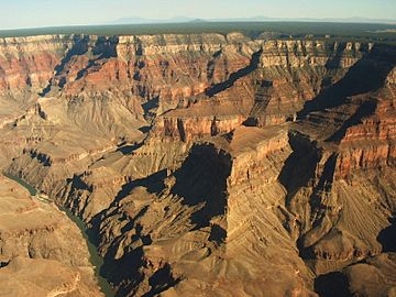
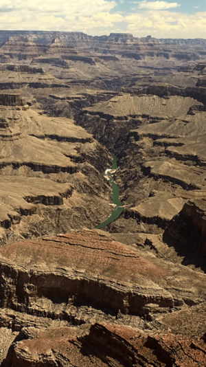
Whites Butte is a cool rock formation in the Grand Canyon. It stands about 4,860 feet (1,481 meters) tall. This butte is right next to the famous Colorado River. It marks the start of the western part of the Grand Canyon's South Rim. Whites Butte is also found at the end of Travertine Canyon. This canyon is next to Hermit Canyon.
A hiking path called the Boucher Trail goes near Whites Butte. This trail starts in Upper Hermit Canyon. It follows the eastern side of Whites Butte. Hikers use it to reach the Tonto Trail on the Tonto Platform. This platform is a flat area on the south side of the Colorado River.
What is Whites Butte Made Of?
The very top of Whites Butte is a wide, flat area. It is made of a strong rock called Redwall Limestone. This type of rock often forms steep cliffs. You can even see plants growing on top of this limestone platform.
The eastern side of the Redwall Limestone is slightly curved. The main part of the butte, which sits on top of the Redwall Limestone, is also curved. The highest point of Whites Butte looks like a pyramid. This pyramid shape is made from layers of rock called the Supai Group.
A small cliff on the butte is part of the Supai Group. It is specifically from a layer called the Manakacha Formation. Below these cliffs are slopes made of another rock layer, the Watahomigi Formation. These strong cliffs protect the softer slopes below them. This protection helps to create the unique pyramid shape of Whites Butte.
 | Charles R. Drew |
 | Benjamin Banneker |
 | Jane C. Wright |
 | Roger Arliner Young |


