Wooroonooran National Park facts for kids
Quick facts for kids Wooroonooran National ParkQueensland |
|
|---|---|
|
IUCN Category II (National Park)
|
|

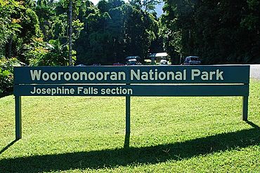
Signage
|
|
| Nearest town or city | Innisfail |
| Established | 1991 |
| Area | 798 km2 (308.1 sq mi) |
| Managing authorities | Queensland Parks and Wildlife Service |
| Website | Wooroonooran National Park |
| See also | Protected areas of Queensland |
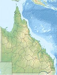
Wooroonooran National Park is a special place in Queensland, Australia. Its name means "Black Rock" in an Aboriginal language. The park is about 1367 kilometers northwest of Brisbane. It sits between the towns of Innisfail and Cairns.
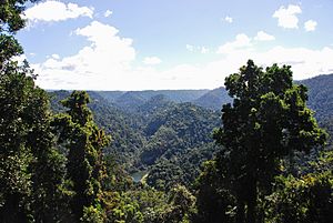
This park is part of the Wet Tropics World Heritage Area. This means it is a very important natural site, recognized around the world. The World Heritage area was created in 1988. It stretches from Townsville in the south to Cooktown in the north. It protects some of the oldest rainforests still alive on Earth.
Wooroonooran National Park covers most of the Bellenden Ker Range. It is home to Queensland's two highest mountains. These are Mount Bartle Frere, which is 1622 meters tall, and Mount Bellenden Ker, which is 1592 meters tall. Walshs Pyramid is also in the park. It is 922 meters high and looks like a giant natural pyramid. This area also gets a lot of rain every year, more than almost anywhere else in Australia.
The park has two main parts: the Palmerston section and the Josephine section. Both the North and South branches of the Johnstone River flow through the Palmerston section.
Contents
Amazing Waterfalls
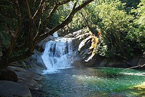
The Josephine Falls area was opened for visitors in the 1970s. The water in Josephine Creek comes from the slopes of Mount Bartle Frere. It then flows into the Russell River. There is a 600-meter walking path through the rainforest. This path leads to safe viewing platforms where you can see the falls. The granite rocks near the falls can be very slippery. For safety, it is not allowed to go past the viewing platforms. A special type of skink, called the Bartle Frere skink, lives near these falls.
About 30 kilometers west of the Bruce Highway, along the Palmerston Highway, you can find tracks to other waterfalls. These include Tchupala Falls and Wallicher Falls. The path to Tchupala Falls is about 600 meters long. The path to Wallicher Falls is about 800 meters long. Both of these waterfalls are part of Henrietta Creek.
Nandroya Falls can be reached from a walking track that starts at the Henrietta Creek Campground. The shortest walk to the falls is 2.2 kilometers. At Nandroya Falls, Douglas Creek drops 50 meters in a narrow, straight fall. There is also a second, wider waterfall nearby. Silver Creek Falls can also be seen from this walking track.
Other waterfalls in the park include Whites Falls on Behana Creek, which are above Clamshell Falls. Kearneys Falls are found in the Goldsborough Valley part of Wooroonooran National Park.
Plants and Animals
The rainforests in Wooroonooran National Park are full of life. They have more than 500 different kinds of trees! In the higher parts of the park, you can find Australia's only native type of rhododendron flower.
This park is also a very important place for birds. It is known as the Wooroonooran Important Bird Area. This is because it is home to many bird species that only live in Queensland's Wet Tropics.
Park History
Between 2007 and 2008, the Mamu Rainforest Tropical Skywalk was built. The Queensland Parks and Wildlife Service managed this project. It was built by Hutchinson Builders Pty Ltd.
Things to See and Do
The Mamu Rainforest Tropical Skywalk is a popular attraction. It is located on the Palmerston Highway. It lets you walk high up in the rainforest canopy.
Visitor Facilities
You can go camping at a campground along Henrietta Creek. If you like a more rugged adventure, you can also do bush camping along the Mount Bartle Frere Trail. However, there are no facilities provided for bush camping. You will need to get a permit before you camp.
Images for kids
See also
 In Spanish: Parque nacional Wooroonooran para niños
 | Tommie Smith |
 | Simone Manuel |
 | Shani Davis |
 | Simone Biles |
 | Alice Coachman |


