
Amber Mountain (Alberta) facts for kids
Quick facts for kids Amber Mountain |
|
|---|---|

Amber Mountain
Location in Alberta

Amber Mountain
Location in Canada
|
|
| Highest point | |
| Elevation | 2,565 m (8,415 ft) |
| Prominence | 145 m (476 ft) |
| Parent peak | The Watchtower (2971 m) |
| Listing | Mountains of Alberta |
| Geography | |
| Location | Jasper National Park Alberta |
| Parent range | Maligne Range Canadian Rockies |
| Topo map | NTS 83C/13 |
| Geology | |
| Age of rock | Cambrian |
| Type of rock | Shale |
| Climbing | |
| Easiest route | Hiking |
Amber Mountain is a mountain peak located in Jasper National Park, Alberta, Canada. It stands about 2,565 meters (8,415 feet) tall. This mountain is part of the Maligne Range within the famous Canadian Rockies.
About Amber Mountain
Amber Mountain got its name because of its unique rocks. It has parts of rock called shale that are the color of amber. This is a yellowish-brown color.
A person named Morrison P. Bridgland named the mountain in 1916. He was a land surveyor who named many peaks in the Canadian Rockies. The name "Amber Mountain" became official in 1947. This was approved by the Geographical Names Board of Canada.
The closest taller mountain to Amber Mountain is The Watchtower. It is about 5 kilometers (3.1 miles) to the east. The rocks that make up Amber Mountain are very old. They are sedimentary rocks that formed during the Cambrian period. This was a very long time ago. These rocks were later pushed up and over younger rocks during a big event called the Laramide orogeny.
What is the Climate Like?
Amber Mountain is in a subarctic climate zone. This means it has very long, cold, and snowy winters. The summers are usually mild.
Temperatures can drop very low, sometimes below -20 °C (-4 °F). With the wind chill, it can feel even colder, below -30 °C (-22 °F). The snow and rain that fall on Amber Mountain eventually flow into small streams. These streams then join the Athabasca River.
Gallery
-
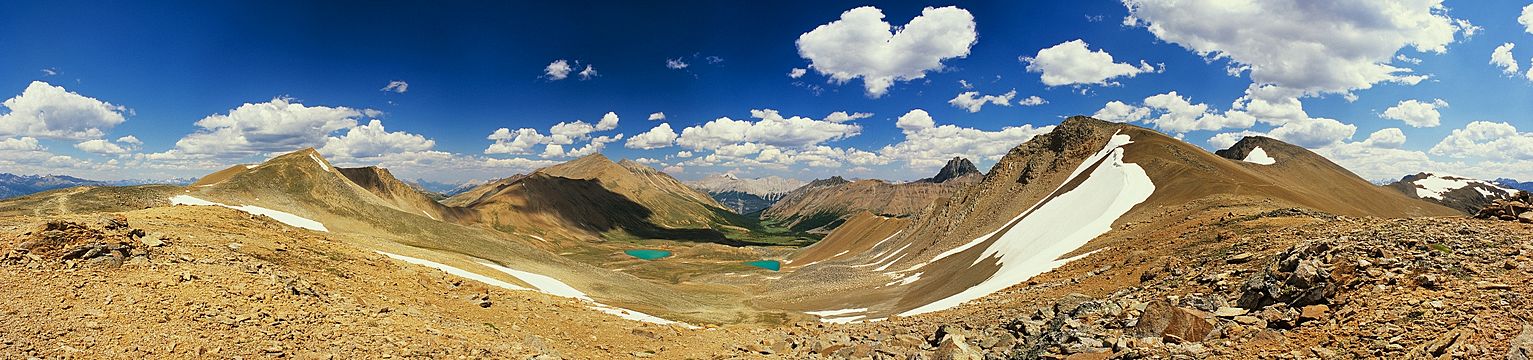
View from Amber Mountain looking northeast toward Centre Mountain, The Watchtower, and South Amber Mountain

