Calf Top facts for kids
Quick facts for kids Calf Top |
|
|---|---|
| Highest point | |
| Elevation | 610 m (2000 ft) |
| Prominence | 312 m |
| Parent peak | Whernside |
| Listing | Marilyn, Dewey |
| Geography | |
| Location | Yorkshire Dales, England |
| OS grid | SD 66449 85624 |
| Topo map | OS Landranger 98 |
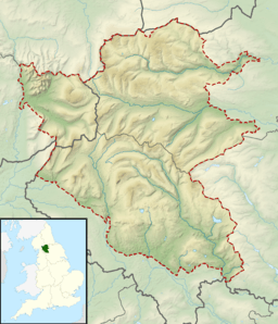
Calf Top is a mountain located in the western part of the Yorkshire Dales in England. It stands tall in the county of Cumbria, not far from Lancashire and North Yorkshire. When you look from smaller hills nearby, like Lambrigg Fell or Hutton Roof Crags, Calf Top really stands out.
How Tall is Calf Top?
For a long time, maps showed Calf Top as being 609 metres high. This number was very close to 2,000 feet, which is often used to decide if a hill is big enough to be called a mountain in the UK.
To be super accurate, experts used special GPS and measuring tools. They found its height was 609.58 metres. This was just a tiny bit under 2,000 feet.
However, in 2016, the Ordnance Survey (the official map-makers) measured it again. They used new technology and found Calf Top is actually 609.606 metres tall! This new measurement means it is now officially considered a mountain. Current maps show its height rounded to 610 metres.
What Makes Calf Top Special?
Calf Top is separated from its nearby peaks, Great Coum and Aye Gill Pike, by a deep valley called Barbondale. Even though it's not the tallest mountain in its area, it has a very high relative height. This means it rises a lot from the land around its base.
Because of this, Calf Top is known as a Marilyn. A Marilyn is a hill or mountain in the British Isles that has a drop of at least 150 metres (about 492 feet) on all sides. This makes Calf Top a special peak for hikers and climbers.
 | Selma Burke |
 | Pauline Powell Burns |
 | Frederick J. Brown |
 | Robert Blackburn |


