California Historical Landmarks in Sonoma County facts for kids
Sonoma County, located in California, is a place rich in history! All around the county, you can find special spots called California Historical Landmarks. These landmarks are important places, buildings, or areas that tell us about California's past. They help us remember key events and people who shaped the state.
Think of them like historical treasures! Each landmark has a unique story, from old missions and forts to famous homes and beautiful natural areas. Exploring these landmarks is a great way to learn about how Sonoma County and California grew over time.
Contents
- Discovering Sonoma County's Historic Landmarks
- Bear Flag Monument
- Blue Wing Inn
- Bodega Bay & Harbor
- Buena Vista Winery
- Cooper's Sawmill
- Cotati Downtown Plaza
- Fort Ross
- Haraszthy Villa
- Icaria-Speranza Commune
- Italian Swiss Colony
- Jack London State Historic Park
- John Medica Gardens
- Luther Burbank Home and Gardens
- Mission San Francisco de Solano
- Nash-Patton Adobe
- Petrified Forest
- Presidio of Sonoma
- Rancho Petaluma Adobe
- Saint Teresa of Avila Church, Bodega
- Salvador Vallejo Adobe
- Sebastiani Vineyards and Winery
- Swiss Hotel
- Temelec Hall
- Union Hotel & Union Hall
- Vallejo Estate
- Walters Ranch Hop Kiln
- William Hood House
Discovering Sonoma County's Historic Landmarks
Here's a list of some of the amazing historical landmarks you can find in Sonoma County:
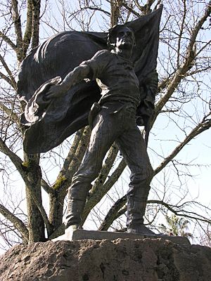
Bear Flag Monument
The Bear Flag Monument is found in the Sonoma Plaza in Sonoma. It marks the spot where the famous Bear Flag Revolt happened in 1846. This event was a big step towards California becoming part of the United States.
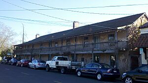
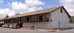
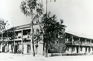
Blue Wing Inn
Also located in Sonoma State Historic Park in Sonoma, the Blue Wing Inn is one of California's oldest hotels. It was built in the 1840s and hosted many important people during the early days of California.
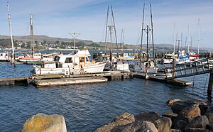
Bodega Bay & Harbor
Found at Doran Park in Bodega Bay, this area is recognized for its historical importance as a port. It has been a vital spot for fishing and trade along the coast for a long time.
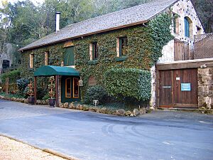
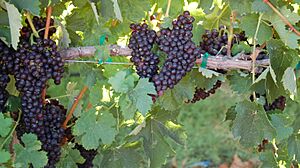
Buena Vista Winery
Located at 18000 Old Winery Rd. in Sonoma, Buena Vista Winery is one of California's oldest commercial wineries. It was founded in 1857 and played a huge role in starting California's famous wine industry.
Cooper's Sawmill
This landmark is near Mirabel and River Rds. in Santa Rosa. Cooper's Sawmill was an important early sawmill, helping to provide lumber for building homes and towns in the growing region.
Cotati Downtown Plaza
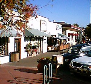
The unique hexagonal (six-sided) downtown plaza in Cotati is a historical landmark. It's one of only two such plazas in the United States and has been the center of the town's community life for many years.
Fort Ross
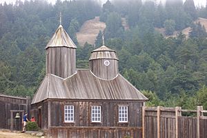
You can visit Fort Ross at Fort Ross State Historic Park in Jenner. This historic fort was a Russian settlement from 1812 to 1841. It was a trading post and agricultural center for the Russian-American Company.
Haraszthy Villa
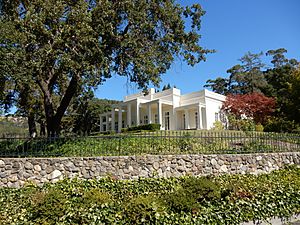
Near Buena Vista Winery on Castle Rd. in Sonoma, the Haraszthy Villa was the home of Agoston Haraszthy, who is known as the "Father of California Viticulture" (wine growing).
Icaria-Speranza Commune
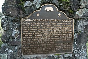
This landmark is on the west side of Asti Rd. in Cloverdale. It marks the site of a unique community called the Icaria-Speranza Commune, which was an experimental socialist settlement in the late 1800s.
Italian Swiss Colony
Located in Asti, the Italian Swiss Colony was a major winery founded in 1881 by Italian immigrants. It became one of the largest wine producers in California, helping to shape the region's agricultural history.
Jack London State Historic Park
Found in Glen Ellen, this park was once the home of famous American writer Jack London. You can explore his ranch, including his house, barns, and the ruins of his dream home, Wolf House.
John Medica Gardens
At 5000 Medica Rd. in Santa Rosa, these gardens are recognized as a 20th-century folk art site. They showcase unique and creative landscaping.
Luther Burbank Home and Gardens
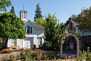
Located at 200 Santa Rosa Ave. in Santa Rosa, this was the home and experimental gardens of Luther Burbank. He was a famous plant breeder who developed many new varieties of fruits, vegetables, and flowers.
Mission San Francisco de Solano
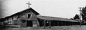
Part of Sonoma State Historic Park in Sonoma, this is the last of the 21 California missions. It was founded in 1823 and played a key role in the early history of the Sonoma Valley.
Nash-Patton Adobe
This historic adobe building is at 579 1st St. E. in Sonoma. Adobe buildings are made from sun-dried mud bricks and are important examples of early California architecture.
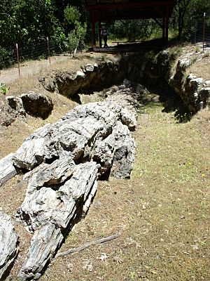
Petrified Forest
You can find the Petrified Forest at 4100 Petrified Forest Rd. near Calistoga. This amazing natural landmark features ancient redwood trees that turned into stone over millions of years.
Presidio of Sonoma
Also within Sonoma State Historic Park in Sonoma, the Presidio was a military outpost built by the Mexican government in the 1830s. It was important for defending the northern frontier.
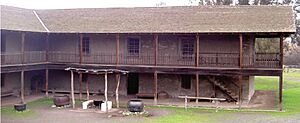
Rancho Petaluma Adobe
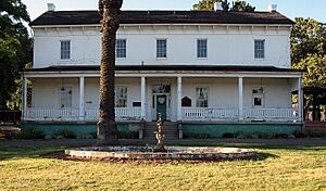
Located at Petaluma Adobe State Historic Park at 3325 Adobe Rd. in Petaluma, this is one of the largest and best-preserved adobe buildings in California. It was the headquarters of a vast ranch in the 1830s.
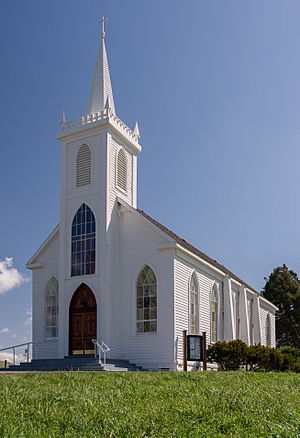
Saint Teresa of Avila Church, Bodega
This beautiful church is on Bodega Hwy near Bodega Ln. in Bodega. Built in 1860, it's one of the oldest churches in Sonoma County and a lovely example of historic architecture.
Salvador Vallejo Adobe
Found at 421 1st St. in Sonoma, this adobe was built in 1846. It was the home of Captain Salvador Vallejo, a key figure in early California history and brother of General Mariano Vallejo.
Sebastiani Vineyards and Winery
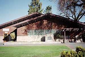
Located at 394 4th St E in Sonoma, Sebastiani Vineyards and Winery is another historic winery. It was established in 1904 and has been a significant part of Sonoma's wine heritage for over a century.
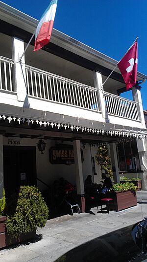
Swiss Hotel
The Swiss Hotel is at 18 W. Spain St. in Sonoma. This building has a long history, serving as a hotel and restaurant since the late 1800s, and it's a popular spot in Sonoma's historic plaza area.
Temelec Hall
At 220 Temelec Circle in Temelec, Temelec Hall is a grand historic estate. It was built in the 1850s and is a beautiful example of the large homes built during that period.
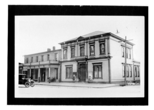
Union Hotel & Union Hall
Located at 35 Napa and 1st St. in Sonoma, the Union Hotel and Union Hall are historic buildings that served as important community gathering places. They reflect the social life of Sonoma in the past.
Vallejo Estate
The Vallejo Estate is at the corner of Spain and West 3rd Streets in Sonoma. This was the home of General Mariano Guadalupe Vallejo, a very important figure in California's Mexican and early American periods.
Walters Ranch Hop Kiln
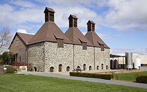
You can find the Walters Ranch Hop Kiln at 7501 Sonoma Hwy. in Healdsburg. Hop kilns were used to dry hops, a key ingredient in beer, and this one is a great example of the region's agricultural history.
William Hood House
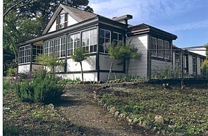
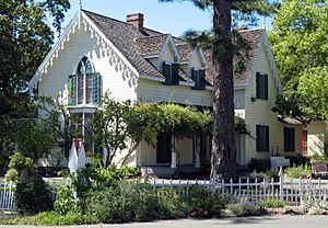
Located at 7501 Sonoma Hwy. in Santa Rosa, the William Hood House is a historic home. It represents the architectural styles and way of life of early settlers in the area.


