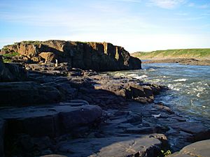
Coppermine River facts for kids
Quick facts for kids Coppermine River |
|
|---|---|
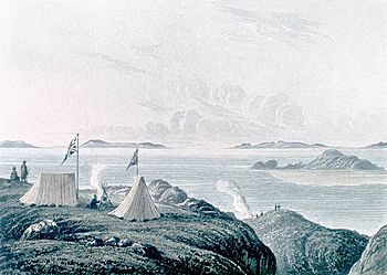
View of the Arctic Sea from the mouth of the Coppermine River (1821) by George Back
|
|
|
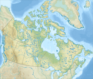
Coppermine River mouth location
|
|
| Country | Canada |
| Physical characteristics | |
| Main source | Lac de Gras Northwest Territories, Canada 396 m (1,299 ft) 64°35′01″N 111°11′33″W / 64.58361°N 111.19250°W |
| River mouth | Coronation Gulf Nunavut, Arctic Ocean, Canada 0 m (0 ft) 67°48′43″N 115°05′05″W / 67.81194°N 115.08472°W |
| Length | 845 km (525 mi) |
| Basin features | |
| Basin size | 50,700 km2 (19,600 sq mi) |
The Coppermine River is a long river in northern Canada. It flows through the Northwest Territories and Nunavut. The river is about 845 kilometers (525 miles) long.
It starts in a small lake called Lac de Gras. This lake is close to the much larger Great Slave Lake. From there, the Coppermine River flows north. It eventually reaches the Coronation Gulf, which is part of the Arctic Ocean. During winter, the river freezes over. However, water can still flow underneath the ice.
The town of Kugluktuk is located right at the mouth of the river. This town used to be called Coppermine.
Why is it Called Coppermine River?
The river got its name from the copper found nearby. In 1771, an explorer named Samuel Hearne named it. He found copper ores along the river's banks. However, he only found one large piece of copper. At that time, people decided it wasn't enough for mining.
Bloody Falls and Its History
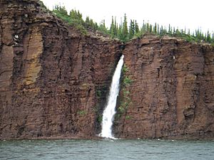
Bloody Falls is a special place on the Coppermine River. It is part of the Kugluk/Bloody Falls Territorial Park. This area is about 18.5 kilometers (11.5 miles) from Kugluktuk.
Historically, the Kogluktogmiut people lived here. They were a group of the Copper Inuit. Bloody Falls is also known for a sad event. In 1771, Matonabbee, who was Samuel Hearne's guide, and his Chipewyan friends attacked the local Inuit people there.
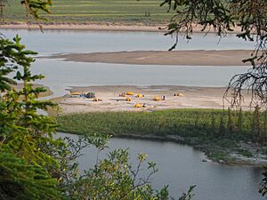
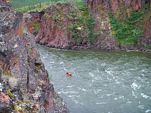
Gallery
See also
 In Spanish: Río Coppermine para niños
 | Precious Adams |
 | Lauren Anderson |
 | Janet Collins |


