Kelly Hills facts for kids
Quick facts for kids Kelly Hills |
|
|---|---|
| Aputjilpi | |
| Highest point | |
| Elevation | 870 m (2,850 ft) |
| Geography | |
| Country | Australia |
| Territory | Northern Territory |
| Locality | Petermann |
| Range coordinates | 25°49′S 131°25′E / 25.817°S 131.417°E |
| Geology | |
| Age of rock | Paleoproterozoic |
| Type of rock | gneiss, quartzite |
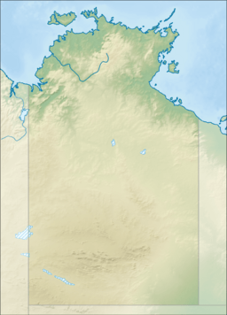
The Kelly Hills are a group of mountains in the southern part of the Northern Territory of Australia. They are also known by their local name, Aputjilpi. These hills are found just north of the Musgrave Ranges. They are about 50 kilometers (31 miles) northeast of a place called Amaṯa.
The highest point in the Kelly Hills reaches about 870 meters (2,854 feet) above sea level. This means it is quite high up from the ocean. Mount Robert is another important peak. It is at the eastern end of the range and is about 796 meters (2,612 feet) high.
Exploring the Kelly Hills
The area around the Kelly Hills is known as Aputjilpinya in the local Yankunytjatjara language. This region is very important to the Aboriginal people. It is part of a special Dreaming track. This track tells stories about the Mala (a type of wallaby) and connects Uluṟu to Ulkiya. Dreaming tracks are like ancient pathways that hold cultural and spiritual meaning.
Water Sources in the Hills
Within the Kelly Hills, there are several "soakages." A soakage is a natural spot where water seeps up from underground. It is like a hidden spring or a damp area that can provide water, especially in dry places.
One of these important water spots is called Puntitjara. Many early European explorers who traveled through the Kelly Hills recorded finding this soakage.
Early Explorers and Puntitjara
In 1903, an expedition from South Australia, led by Lawrence Wells, visited Puntitjara. An Aboriginal guide showed them the way. One of the people on the trip, a prospector named Herbert Basedow, wrote about it. He called it "Punndijarrinna" and said it was a good source of water.
Basedow returned to Puntitjara in June 1926 with another expedition, this time led by Donald Mackay. On this visit, they found the soakage dry. It was covered with a layer of sand. Later, in August 1936, an anthropologist (someone who studies human societies and cultures) named Ted Strehlow also visited Puntitjara. He found it covered by mud.
 | Selma Burke |
 | Pauline Powell Burns |
 | Frederick J. Brown |
 | Robert Blackburn |


