Mount Redington facts for kids
Quick facts for kids Mount Redington |
|
|---|---|

|
|
| Highest point | |
| Elevation | 4000+ ft (1219+ m) NGVD 29 |
| Prominence | 440 ft (130 m) |
| Listing | New England 4000 footers |
| Geography | |
| Topo map | USGS Black Nubble |
| Climbing | |
| Easiest route | herd path |
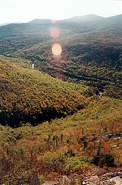
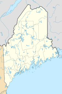
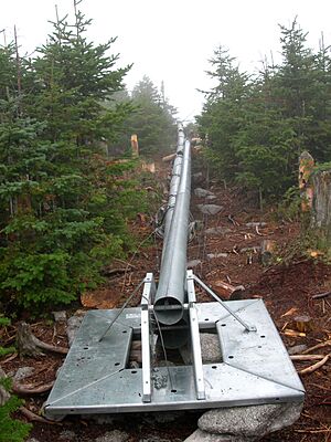
Mount Redington is a mountain located in Franklin County, Maine. It stands tall among other peaks. To its northeast is South Crocker Mountain, and to its west is Black Nubble. Mount Redington is also found near a special U.S. Navy training facility.
Water from the southeast side of Mount Redington flows into the Carrabassett River. This river then joins the Kennebec River, which eventually reaches the Gulf of Maine in the Atlantic Ocean. On the northwest side, water drains into Nash Stream. This stream then connects to the Dead River, passes through Flagstaff Lake, and also flows into the Kennebec River.
The famous Appalachian Trail (AT) is a very long hiking path. It stretches about 2,170 miles (3,490 km) from Georgia all the way to Maine. The AT does not go over Mount Redington. Instead, it passes close to the top of Sugarloaf Mountain. Sugarloaf is the second highest peak in Maine. The AT runs about a mile northeast of Redington, near the summit of South Crocker.
Mount Redington is special because it is one of the "New England four-thousand footers" without a marked trail to its top. The only other mountain like this is Owl's Head in New Hampshire. This means reaching the summit can be a bit more of an adventure!
A "four-thousand footer" is a mountain that is at least 4,000 feet (1,219 meters) tall. There are many of these tall mountains in New England. Hikers often try to climb all of them as a challenge. Mount Redington is one of these impressive peaks.
Plans for a Wind Farm
In 2005, a company wanted to build a wind farm on Mount Redington. They planned to put 30 large wind turbines on Redington and nearby Black Nubble. A wind farm uses wind to create electricity.
Why the Wind Farm Was Not Built
There was a lot of discussion about this plan. In 2007, the Maine Land Use Regulation Committee (LURC) decided not to approve it. They thought the top of Mount Redington was too important for nature. It is a special home for two rare animals: the bog lemming and Bicknell's thrush. Also, the wind turbines would have been seen from far away, including from the Appalachian Trail.
A new plan was suggested in 2008. This time, the company only wanted to build turbines on Black Nubble. But this plan was also turned down by the LURC. By 2009, the project was being called the Sugarloaf Community Wind Farm.
 | Valerie Thomas |
 | Frederick McKinley Jones |
 | George Edward Alcorn Jr. |
 | Thomas Mensah |


