
Parkside, Pennsylvania facts for kids
Quick facts for kids
Parkside, Pennsylvania
|
|
|---|---|
 |
|
| Motto(s):
"Small but Strong!"
|
|

Location in Delaware County and the U.S. state of Pennsylvania.
|
|

Parkside, Pennsylvania
Location in Pennsylvania

Parkside, Pennsylvania
Location in the United States
|
|
| Country | United States |
| State | Pennsylvania |
| County | Delaware |
| Government | |
| • Type | Mayor/Council Mayor Kim Roman |
| • Body | Borough Council |
| Area | |
| • Total | 0.21 sq mi (0.53 km2) |
| • Land | 0.21 sq mi (0.53 km2) |
| • Water | 0.00 sq mi (0.00 km2) |
| Elevation | 105 ft (32 m) |
| Population
(2020)
|
|
| • Total | 2,321 |
| • Density | 11,266.99/sq mi (4,354.43/km2) |
| Time zone | UTC-5 (EST) |
| • Summer (DST) | UTC-4 (EDT) |
| ZIP code |
19015
|
| Area code(s) | 610 |
| FIPS code | 42-045-58176 |
| FIPS code | 42-58176 |
| GNIS feature ID | 1183333 |
Parkside is a small town, also called a borough, located in Delaware County, Pennsylvania, in the United States. In 2020, about 2,321 people lived there. Parkside is known for its motto: "Small but Strong!"
Contents
Where is Parkside Located?
Parkside is in the southern part of Delaware County. It shares borders with other towns. To the east, you'll find Chester. To the south is Upland, and to the west is Brookhaven.
The borough is quite small. It covers an area of about 0.21 square miles (0.53 square kilometers). All of this area is land, with no large bodies of water.
Getting Around Parkside
_just_south_of_Chelton_Road_in_Parkside,_Delaware_County,_Pennsylvania.jpg)
Parkside has several public roads. Most of these roads are taken care of by the borough itself. A smaller part is maintained by the Pennsylvania Department of Transportation (PennDOT).
The main road that goes through Parkside is Pennsylvania Route 352. It's also known as Edgmont Avenue. This road can take you southeast to Interstate 95 and the center of Chester. If you head northwest, it leads to U.S. Route 1 near Media.
Who Lives in Parkside?
| Historical population | |||
|---|---|---|---|
| Census | Pop. | %± | |
| 1920 | 374 | — | |
| 1930 | 1,497 | 300.3% | |
| 1940 | 1,579 | 5.5% | |
| 1950 | 1,637 | 3.7% | |
| 1960 | 2,426 | 48.2% | |
| 1970 | 2,343 | −3.4% | |
| 1980 | 2,464 | 5.2% | |
| 1990 | 2,369 | −3.9% | |
| 2000 | 2,267 | −4.3% | |
| 2010 | 2,328 | 2.7% | |
| 2020 | 2,321 | −0.3% | |
The population of Parkside has changed over the years. In 1920, only 374 people lived there. By 2020, the population had grown to 2,321.
According to the 2010 census, most people in Parkside were White (80.5%). There was also a notable number of African American residents (12.9%). Other groups included Asian (2.4%), Native American (0.8%), and people from two or more races (2.4%). About 3.5% of the population identified as Hispanic or Latino.
In 2000, there were 869 households in Parkside. Many of these households (35.7%) had children under 18 living with them. The average household had about 2.61 people.
Education in Parkside
Students in Parkside attend schools that are part of the Penn-Delco School District. This district helps provide education for the children and teens living in the area.
-
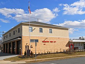
Fire company
-
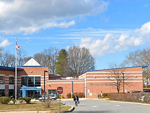
Parkside Elementary School
-
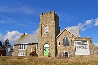
Empty church
-
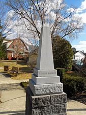
Veterans' memorial


See also
 In Spanish: Parkside (Pensilvania) para niños
