Shepman Run facts for kids
Quick facts for kids Shepman Run |
|
|---|---|

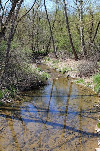
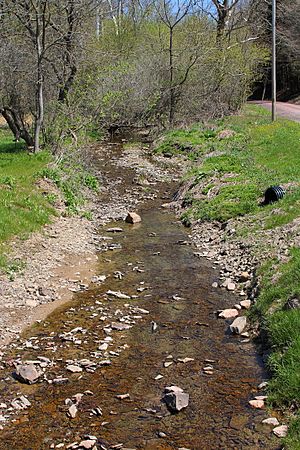
Shepman Run looking downstream
|
|
| Other name(s) | Shepmans Run |
| Physical characteristics | |
| Main source | valley in Moreland Township, Lycoming County, Pennsylvania 944 ft (288 m) |
| River mouth | Little Muncy Creek in Moreland Township, Lycoming County, Pennsylvania near Clarketown 594 ft (181 m) 41°11′26″N 76°41′14″W / 41.19055°N 76.68719°W |
| Length | 2.6 mi (4.2 km) |
| Basin features | |
| Progression | Little Muncy Creek → Muncy Creek → West Branch Susquehanna River → Susquehanna River → Chesapeake Bay |
| Basin size | 1.59 sq mi (4.1 km2) |
| Tributaries |
|
Shepman Run, also called Shepmans Run, is a small stream in Lycoming County, Pennsylvania. It flows into Little Muncy Creek. This stream is about 2.6 miles (4.2 km) long. It runs through Moreland Township. The area of land that drains into the stream is about 1.59 square miles (4.1 km2). A special covered bridge crosses Shepman Run. Shepman Run is a great place for fish. It is known as a Coldwater Fishery and a Migratory Fishery.
Contents
Journey of Shepman Run: Where Does It Flow?
Shepman Run starts in a valley in Moreland Township. It flows east for a short distance. Then, it turns south for a bit. Along this part of its journey, another small stream joins it from the left side. It also passes through a small pond.
The stream then turns towards the south-southwest. It flows this way for a while until it leaves its valley. Soon after, it turns east for a very short distance. Finally, it meets and joins Little Muncy Creek. Shepman Run joins Little Muncy Creek about 5.86 miles (9.43 km) before Little Muncy Creek reaches its own end.
Smaller Streams Joining Shepman Run
Shepman Run does not have any named smaller streams that flow into it. However, it does have one unnamed stream. This small stream is about 0.5 miles (0.8 km) long.
Land and Rocks Around Shepman Run
The land where Shepman Run ends, at its mouth, is about 594 feet (181 m) above sea level. Where the stream begins, at its source, the land is higher, about 944 feet (288 m) above sea level. The stream flows through a valley called Tommy Hollow.
A bridge called the Eichenlaub bridge crosses Shepman Run. It is in Moreland Township, just off Tom Hill Hollow Road. This bridge is about 16 feet (4.9 m) long.
Shepman Run's Water Area and Wildlife
The entire area of land that drains water into Shepman Run is called its watershed. This watershed covers about 1.59 square miles (4.1 km2). The stream is located entirely within the Hughesville area on maps from the United States Geological Survey. The end of the stream is close to Clarketown.
Shepman Run is part of a larger water system. It belongs to the Lower West Branch Susquehanna sub-basin. This means its waters eventually flow into the West Branch Susquehanna River.
Shepman Run is special because it's classified as a Coldwater Fishery. This means its waters are cold enough for certain types of fish to live there. It's also a Migratory Fishery, which means fish travel through it to lay their eggs. All the other streams that flow into Little Muncy Creek are also classified this way.
History of Shepman Run
Shepman Run was officially added to the Geographic Names Information System on August 2, 1979. This system keeps track of names for places like streams. Its special ID number in the system is 1187470. The stream is also known by another name, Shepmans Run. This other name appeared in a book called The Geology of Lycoming County. This book was written by Andrew Sherwood and Franklin Platt and was published way back in 1880.


